Module 2 Lab
In this brief lab, you will record a Google Earth tour of two of the classifications of coastlines described in this module: choose either emergent or submergent for the first, and choose erosional or depositional for the other. So your submission will include two files (see below for more details).
Instructions
- Read the material on emergent and submergent coastlines in the module and choose a location that exemplifies one of these types of coastlines from one or two of the following worldwide locations:
Emergent:
Any of the example locations labeled as emergent on the Emergent and Submergent Coasts page of the Module 2 course material, plus locations on the west coast of the U.S., focusing on the states of Oregon and Washington; and Scotland.
Submergent:
Any of the example locations labeled as submergent on the Emergent and Submergent Coasts page of the Module 2 course material, plus other locations on the eastern coast of the U.S., focusing on the states of Maryland, Virginia, and North Carolina; the Gulf Coast of the U.S.; and Southern China.
Erosional:
Any of the example locations labeled as erosional on the Erosional and Depositional Coasts page of the Module 2 course material, plus other locations on the west coast of the U.S., Southwestern United Kingdom (England), and southern Australia.
Depositional:
Any of the example locations labeled as depositional on the Erosional and Depositional Coasts page of the Module 2 course material, plus other locations on the east coast of the U.S. and the Gulf Coast of the U.S.
Be sure the location you choose for your tour has very obvious features and landforms that are evidence for the classification you are highlighting. - To prepare for your tour, open Google Earth Pro and cruise around that location at about 25- to 30-mile elevation, then zoom in close to about a mile (~5,300 feet or 1.6 km). Zoom in further to see greater detail (~500 ft. or 150 meters). Note morphological features you see that make the coast fit into that classification. Examples: Do you see cliffs or a low-profile shore? Do you see a wide or narrow beach?
- Next, write a brief 100-word script to describe the morphological features (landforms you see) that are evidence of your chosen coastline fitting into that category. Base your description on the information found in the class material, using terminology learned in the reading and other sources. The script can be informal; it will help you remember what to say when you begin recording. Try to be concise, and please limit your recording to 2 minutes or less.
- Next, watch the YouTube video that shows how to record a tour in Google Earth Pro: Learn Google Earth: Recording a Tour. Also, see Googe Earth Help: Record & Play Tours for step-by-step instructions.
- Follow the instructions to (1) record, (2) save, and (3) email the tour kmz file to yourself. Once you receive the emailed file, reopen it and play it in Google Earth Pro to make sure it works. One piece of advice, GE tends to cut off the end of the tour, so try to include some 10-20 seconds of silence after you stop talking before you stop recording.
- Repeat steps 1-4 for the material on erosional or depositional coastlines, choosing to describe either an erosional or a depositional coastline example.
- The finished product for this assignment will have two kmz files that you will submit to the Module 2 Lab (File Uploads). Name the files you upload with the type of coastline you are describing and the location (e.g., “submergent-Grand Isle.kmz).
Troubleshooting Audio Recording Issues
If you have difficulties with your audio after recording your tour, one of these troubleshooting steps may solve the problem.
- In GE Pro, go to Tools> Options - Chache - clear memory and disk cache.
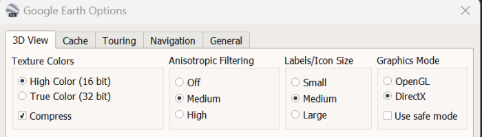
- Tools> Options > 3D view - and change settings as follows: