Water Moves Through the Landscape
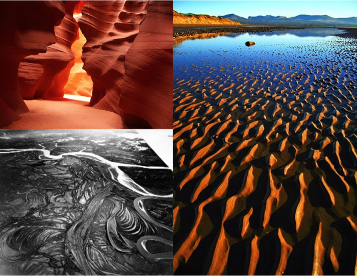
The most obvious way water moves through a landscape is via stream and river channels. There is no formal definition to distinguish between brooks, creeks, streams, and rivers, but generally speaking, the former terms refer to smaller waterways and the latter refer to larger waterways. The terms stream and river are often used interchangeably. There are over 3.5 million miles (5.6 million kilometers) of streams and rivers in the US. If all the streams and rivers throughout the US were lined up one after the next, they would extend the distance from Earth to the moon and back...seven times! That is an incredible length of streams to be monitored, protected, regulated, and (occasionally) repaired by federal, state and local agencies, as well as industry and non-profit organizations and individuals. In addition, streams sculpt much of the surface of the Earth, forming a multitude of beautiful patterns and awe-inspiring features, as shown in Figure 1.