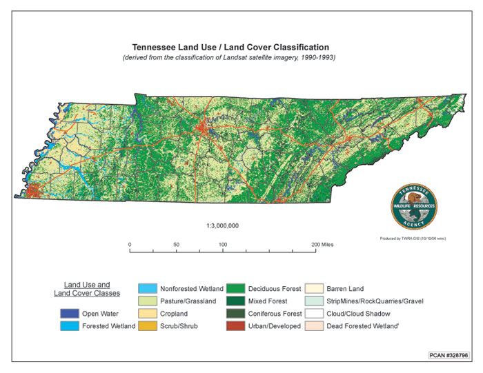
Land Cover Maps
Land cover maps are available from the USGS—the maps characterize the natural environment as well as the land use. Depending on the year and other factors, twenty-one land-use categories have been applied to the United States.
Activity
Directions
NOTE:
For this assignment, you will need to record your work on a word processing document. Your work must be submitted in Word (.doc) or PDF (.pdf) format so I can open it. In addition, documents must be double-spaced and typed in 12 point Times Roman font.
- To learn more about land cover maps, download the short information sheet available at the Multi-Resolution Land Characteristics (MRLC) Consortium Web site. [2]
- To access land cover maps of places you will visit, go to the National Map Web site [3] - be patient for the page to load.
- Look to the top of the page in the green bar, and choose the third icon from the left (Layer List), and then choose the National Land Cover Database (NLCD) - work through the drop-down menu here and choose NLCD 2001.
- Zoom in to your study site to determine the mapped land cover/land use—be sure to use the appropriate color key (legend) to study your site. (2001 legend [4]).
- Choose NLCD 2016, zoom into your study site, and compare to NLCD 2001. (2016 legend [5]).
- Continue the three-page report for this lesson by responding to the following questions:
- What can you learn regarding your study site?
- Is it consistent with what you have observed in other data sources studied this semester?
- Re-save your document and continue with this lesson.