Visualizing a Landscape
In Lesson Five, we discussed map projections—the act of transferring the 3D earth onto a 2D map. In this lesson, we discuss a similar problem—representing Earth’s three-dimensional terrain surface on a 2D map.
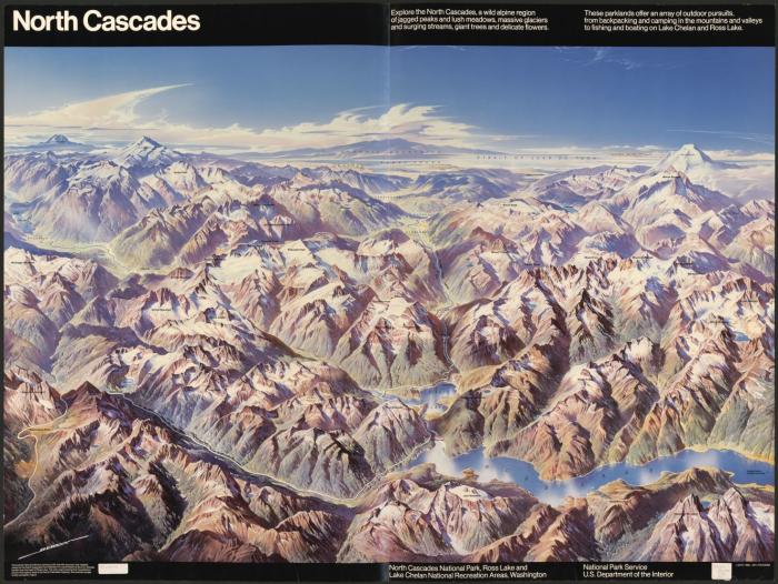
When artists depict three-dimensional landscapes, they commonly use an oblique view. See the example painting in Figure 6.1.1—the perspective of the drawing makes the landscape appear three-dimensional, though it is only a two-dimensional piece of art.
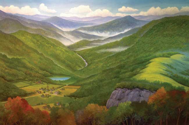
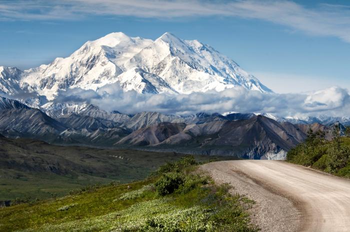
Whether in an artists’ rendering (Figure 6.1.1), photograph (Figure 6.1.2), or digital model, the oblique perspective is effective in its realism: it depicts what might be seen by a person on or near the ground.
Though the oblique view creates a favorable artistic impression, it has its disadvantages. First, this perspective inherently obscures some of the landscape—mountains and similar heightened features hide the land behind them. Secondly, oblique views are often constructed by exaggerating the height of landforms, so as to create an interesting visual depiction. This can make between-map comparisons challenging, and cause issues for cartographers hoping to take accurate measurements with such maps.
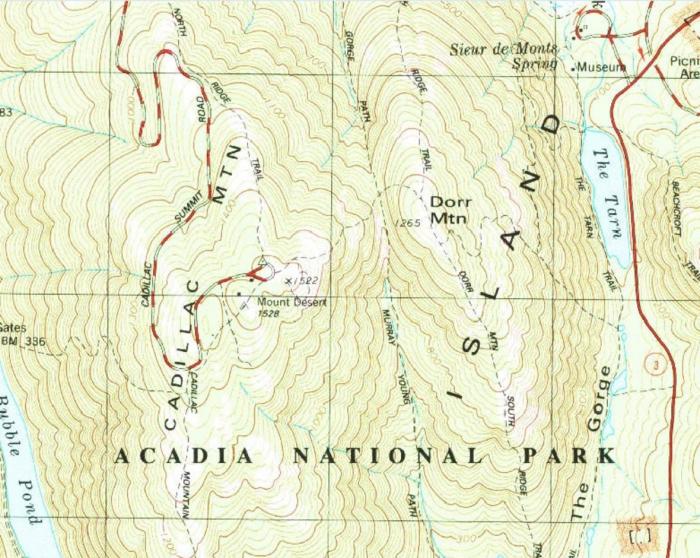
To account for these shortcomings, several vertical view techniques for depicting terrain were developed. Figure 6.1.5 shows a topographic map from the United States Geological Survey (USGS), which depicts a section of Acadia National Park. Topographic maps are maps that quantitatively depict terrain, typically with contour lines. Contour lines on a map connect points of equal elevation, and when drawn, they visualize hills, valleys, and other landforms. In the next sections, we discuss in further detail techniques for using both oblique and vertical map views to represent Earth's terrain.
Student Reflection
Visualizing three-dimensional terrain without obstructing parts of the landscape has been a challenge in cartography for centuries. Can you think of a modern mapping technique that presents similar problems and challenges for map-makers and readers?
Recommended Reading
- Chapter 5: Statement of the Problem. Imhof, Eduard. 2007. Cartographic Relief Presentation. Redlands: Esri Press.
- Chapter 20: Visualizing Terrain. Slocum, Terry A., Robert B. McMaster, Fritz C. Kessler, and Hugh H. Howard. 2009. Thematic Cartography and Geovisualization. Edited by Keith C. Clarke. 3rd ed. Upper Saddle River, NJ: Pearson Prentice Hall.