Text on Maps
When you think of maps, you likely don’t think much about text. In Lesson One, we defined graphicacy—the skill needed to interpret that which cannot be communicated by text or numbers alone—as distinct from literacy (Balchin and Coleman 1966). Despite this, map graphics are often augmented with text, either on the map itself (as in map labels), or in the margins (titles, legends, etc.) Thus, text plays an important role in map design.
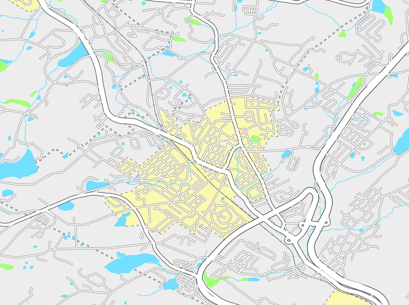
View the map in Figure 2.1.1 below—can you immediately tell what is missing? Can you still recognize the location?
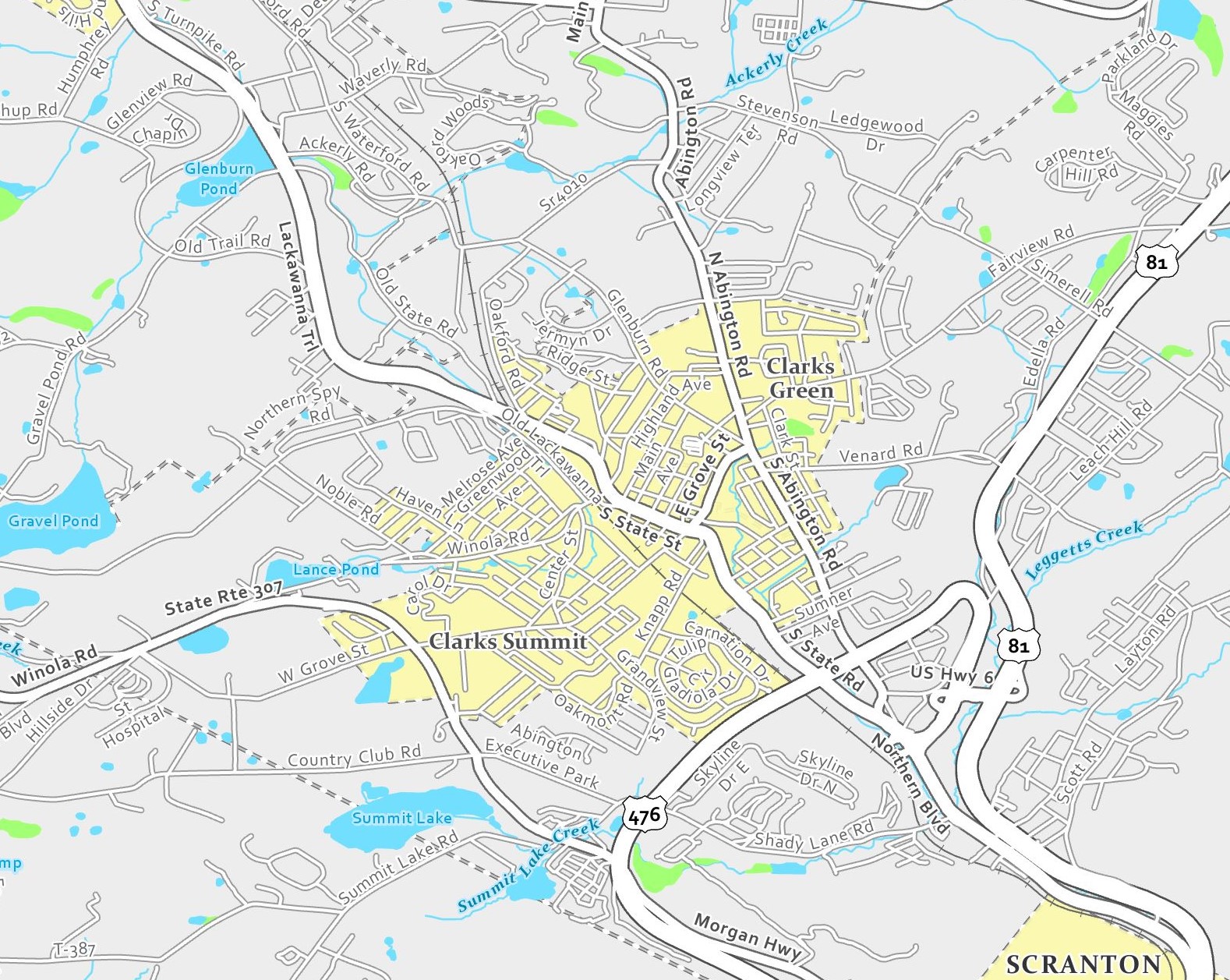
As shown above, good label design often employs different colors, font styles, sizing, and more. Map labels play an important role in mapping—not only by labeling symbols, but also by serving as symbols themselves. In this lesson, we’ll learn about the many design effects that can be used to make appropriate text symbols and aesthetically pleasing designs.
Text on maps, as seen in Figure 2.1.1 above, often refers to place names. The study of geographic names is its own subject of study. A commission within the International Cartographic Association (ICA) is dedicated to toponomy, or the study of the use, history, and meaning of place names. If this interests you, you can learn more about toponomy and the ICA on the ICA website.
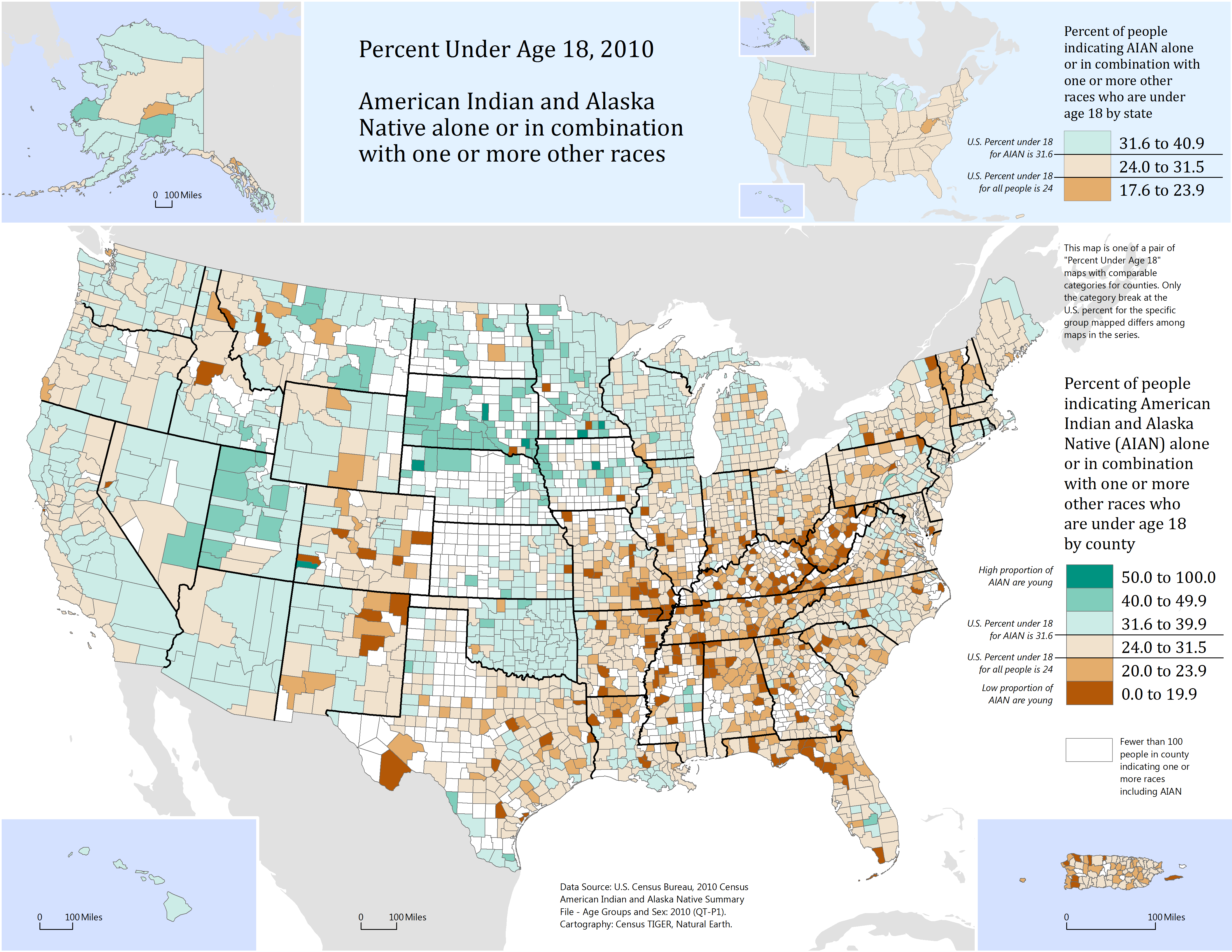
Particularly in thematic mapping, text is employed not just to identify places, but to explain data. In Figure 2.1.3 below, text is used in the making of map legends, scale bars, and so on. Despite this map’s careful color and layout design, without text—it would be unusable.
Student Reflection
Place naming is often a contentious and complicated task. Can you think of a place that is referred to differently by those who live there than by those who do not? How do these different names influence the identity of this place?
Recommended Reading
Rose-Redwood, Reuben S. 2008. “From Number to Name: Symbolic Capital, Places of Memory and the Politics of Street Renaming in New York City.” Social and Cultural Geography 9 (4): 431–452. doi:10.1080/14649360802032702.