Dynamic Maps
The advent of the world wide web initiated many changes in the world of map-making. Though centuries-old cartographic principles are still relevant in a web-mapping world, digital map-making has presented new unique opportunities and challenges for cartographers.
The increasing ubiquity of the Internet has influenced cartography in many ways, from changing the nature of maps themselves (e.g., with new interactive and animated maps), to facilitating a system wherein map-making tools are widely accessible—a world in which almost anyone can make and widely-share a map.
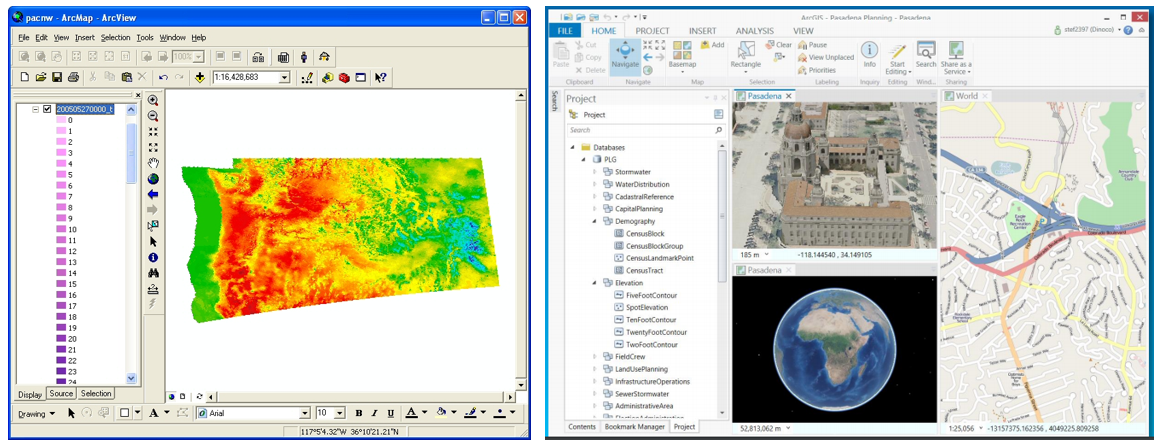
Figure 8.3.1 demonstrates the evolution of the popular GIS software ArcGIS, from ArcMap/ArcView to the newly-released ArcGIS Pro, designed with modern graphics, searchable toolboxes, and a ribbon-based interface. Perhaps even more indicative of the times is the widespread availability of web-based mapping tools and libraries, including CARTO, Leaflet, Mapbox, Social Explorer, and many more.
Geographer Mark Monmonier (2018) uses the term “fast maps” as an umbrella term to describe many new forms of maps and mapping products that have come about in the internet age. These include interactive maps, animated maps, and viral maps—maps that may be static or otherwise but are nevertheless a product of new technologies and widely spread due to the Internet and social media. New interests in virtual and augmented reality have also added to the variety of maps available in this widely-connected world.
Student Reflection
If you have several years of experience using GIS Software, consider how this software has changed over the course of your career. What software did you use when you were first learning GIS? How is it different from ArcGIS Pro?
Recommended Reading
Chapter 14: Fast Maps: Animated, Interactive, or Mobile. Monmonier, Mark. 2018. How to Lie with Maps. 3rd ed. The University of Chicago Press.