Welcome to Geog 486: Cartography and Visualization!
Instructor Information
- Fritz Kessler Spring 1 2024
- Harrison Cole Spring 2 2024
- Marcela Suarez Summer 2024
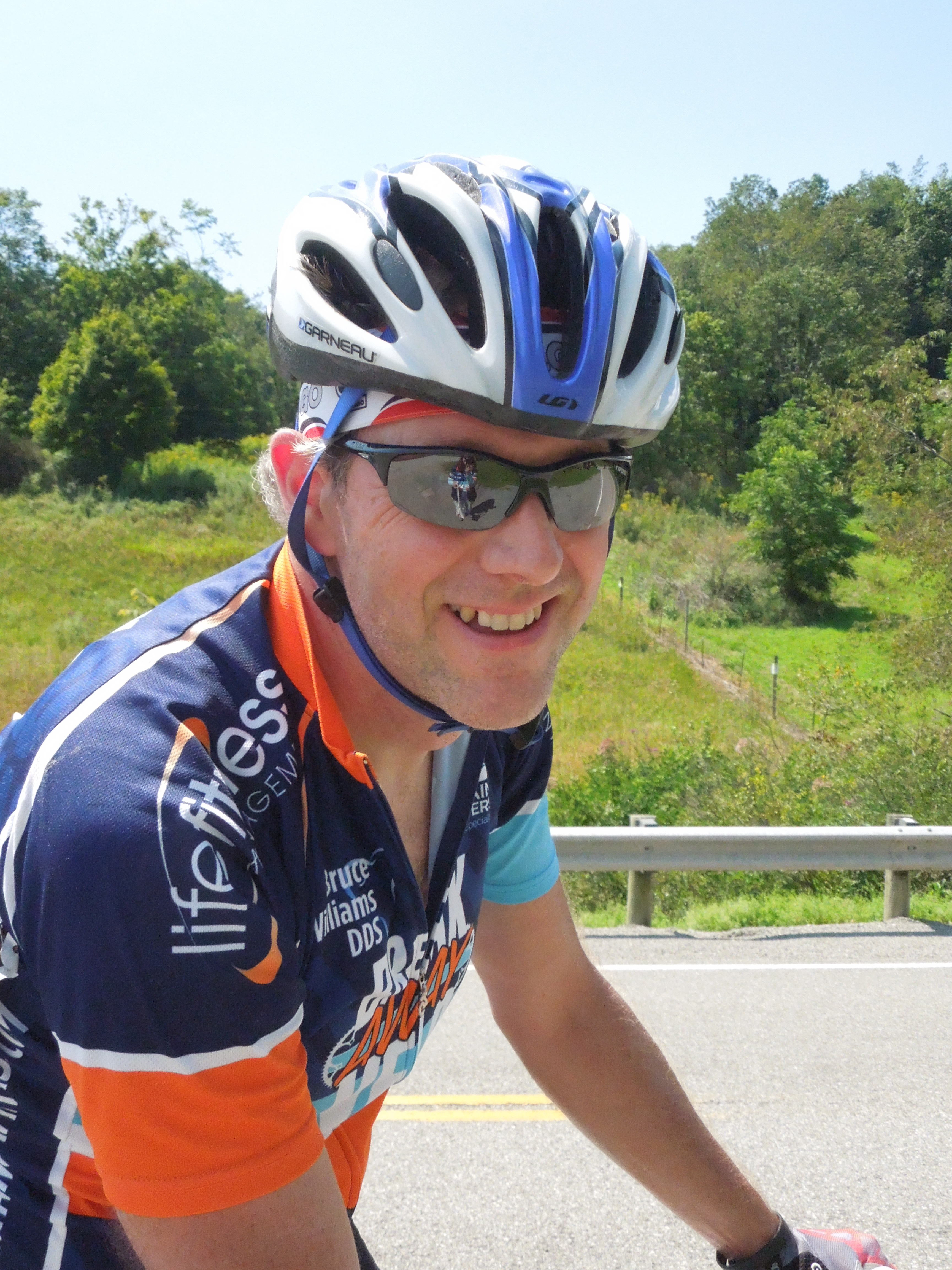
Fritz Kessler

Hi, I am Fritz Kessler. I am a teaching professor in the Department of Geography at Penn State. I teach courses on cartography, GIS, and spatial data analysis in the online geospatial education program offered by the John A. Dutton e-Education Institute. I also teach resident courses in similar topics in the Department of Geography at Penn State. Two of my noted publications include Thematic Cartography and GeoVisualization (4th edition) and Working with Map Projections: A Guide to their Selection.
All three of my degrees (BS, MS, and PhD) are in geography with a concentration on cartography. During my undergraduate schooling, I learned how to make maps using Leroy lettering, mylar, ink pens, scribing, and photomechanical reproduction. My first exposure to computer generated maps was through programming FORTRAN on mainframe computers. Most of my early years of professional cartography work (working for the USGS) were hand drafted and scribed maps that were produced photomechanically. I've hand drawn the world many many times. But, those days are gone, thankfully. By the time I began working on my MS degree, desktop mapping was becoming popular. It is during my MS that I learned how to use Aldus Freehand, a graphic illustration package for Apple computers - specifically the Macintosh 512K. During my PhD, I was introduced to command line ArcInfo and its Windows interface derivative ArcView. Now cartography is vastly different than it was 30+ years ago. It continues to be an exciting time to be a cartographer. I hope you feel the same way too.
Before coming to Penn State, I was a professor and chair at Frostburg State University where I taught courses such as Fundamentals of Cartography, Geographic Visualization, Cartometrics, Advanced Cartography, Boundary Surveying, Research Methods, and GIS.
Here is a bit of background on my professional career as a cartographer. I've worked as a cartographer for the USGS, Intergraph Corp, and R. R. Donnelley and Sons (that later on was bought by MapQuest). Most of the maps I drew for the USGS were hand-drawn. However, it was while working for the USGS that I was first introduced to the Apple Macintosh SE30 computer which created "electronic type" (type printed on sticky-back tape that would be applied to Mylar). Not having to hand letter maps or use Zip-a-Tone transfer lettering was a huge time saver. While working for Intergraph Corp. (which no longer exists in name) I was a programmer for their GIS product: MGE (coding in C). I did a ton of map production work at R.R. Donnelley and Sons (using mostly Adobe Illustrator - version 6.0 I recall which was really buggy). Here is one of the publications I worked on at Donnelley: A travel atlas published through Reader's Digest. I also worked as a map librarian for the T. R. Smith Map Library at the University of Kansas. This was a really fun job for a cartographer but it was hard to get my work done since all I wanted to do was look at the paper maps in the map drawers. One of the jobs I like the most is being a free-lance cartographer. I never know what cartographic project will come across my desk next.
Meet Fritz Kessler, instructor of GEOG 486 (1:16 minutes).
FRITZ KESSLER: Hello. I'm Professor Fritz Kessler. I'm one of the MGIS faculty that teach a variety of online courses through the MGIS program. I also teach a mix of residential courses through the geography department. Most of my course topics deal with cartography and spatial statistics. I came about to these topics of interest because of my mathematical background during my undergraduate schooling. I gravitated towards geography because I found out that cartography was inherently mathematical. And one of the topics in particular, map projections, is very mathematical, and there was a natural inkling for me to take up cartography because of that mathematical association. When I'm not doing cartography or researching cartography or teaching, I like to play the banjo. I play a lot of bluegrass bands and festivals and so forth. I also play guitar and mandolin. I look forward to meeting you in a future course. And if you have any questions or reach out to me, I'd be most welcome to hear from you. Thank you.
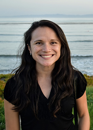
Marcela Suárez

Hi, I am Marcela Suárez. I am an assistant teaching professor of spatial data science in the Department of Geography at Penn State. I teach courses on cartography, GIS, and spatial data analysis in the online geospatial education program offered by the John A. Dutton e-Education Institute.
I earned my PhD in geography from the University of California, Santa Barbara. Broadly my research interests lie at the intersection of geographic information science, cartography, and emergency management. In my research, I use spatial analysis, geovisualization, machine learning, and data mining techniques to understand how user-generated content and volunteered geographic information can be used along with other official data sources to inform how social and environmental phenomena are experienced at a local scale. My research contributes to understanding the role of information contributed by the general public in emergency management. Additionally, it informs us about the use of different spatial clustering methods, spatial aggregation techniques, and content analysis techniques to both summarize social media data and conflate them with other official data for decision making.
Prior to joining Penn State, I was a research specialist at the Center for Spatial Studies at the University of California, Santa Barbara. In the past, I also worked as a consultant for the United Nations Development Program for Adaptation to Climate Change in the Colombian Massif, and as GIS specialist for different governmental organizations in Colombia.
Meet Marcela Suárez, instructor of GEOG 486 (1:18 minutes).
I'm Marcela Suárez, one of the professors in the MGIS and Spatial Data Science programs. I teach courses in cartography, spatial analysis, and spatial data science. There are many reasons why I really enjoy teaching these courses and one of them is definitely that I enjoy working with the talented students we have in these programs. The second reason is that the topics in these courses are very related to my research interest. In my research, I use spatial analysis, geo-visualization, machine learning, and data mining techniques to understand how information contributed by the general public-say tweets - can be used along with official geographic data. What I like the most about working with these different types of geographic data is that they challenge us to think and learn about new methods in the GIS science. Okay, something interesting about me is that I was born and raised in Colombia. So before coming to the U.S. to complete my PhD, I worked with different organizations there as a GIS analyst and consultant. So, when I'm not working you can probably find me biking, hiking, or spending time with my family and my dog, Fiona. Okay that was a bit about me, hope to see you in one of my classes this year.
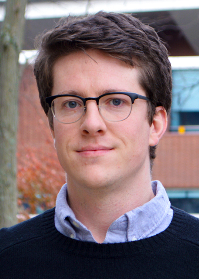
Harrison Cole

I hold a Ph.D. in Geography from Penn State, where I conducted my dissertation research on designing tactile maps for blind and low-vision users. In a professional capacity, I have created maps for a diverse range of clients and venues, including books published by Stanford University Press and The University of Chicago Press, academic research articles, conference presentations, grant applications, and compliance reports.
Topical interests include biogeography, movement ecology, ornithology, logistics, virtual and augmented reality, mixed media maps, early digital cartography, and geospatial visualization in landscape architecture.