Overview
Welcome to Lesson 3! In previous lessons, we discussed broad concepts related to map and map symbol design, including designing for a map’s audience, medium, and purpose. We learned about visual variables and how to designate order and category with map symbols. In the context of text on maps, we discussed these ideas in greater detail; we created symbols with labels and learned how to place them appropriately on maps. We then put everything together in a map layout.
So far, we have only designed general purpose maps. Though these maps still contain data (e.g., road networks, lakes, boundaries), we have not yet added more abstract data to maps. In this lesson, we discuss thematic maps and the ways in which we can use maps to effectively visualize spatial data. When deciding how to map, we’ll consider the spatial dimensions and models of geographic phenomena, levels of data measurement, and appropriate methods of visual encoding. We’ll compare and contrast the four most common types of thematic maps (choropleth, isopleth, proportional symbol, dot) and map two of these in Lab 3, using a popular data source for thematic mapping – the US Census Bureau.
Learning Outcomes
By the end of this lesson, you should be able to:
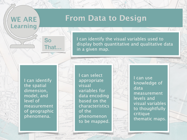
- identify the visual variables used to display both quantitative and qualitative data in a given map.
- identify the spatial dimension, model, and level of measurement of geographic phenomena.
- select appropriate visual variables for data encoding based on the characteristics of the phenomenon to be mapped.
- use knowledge of data measurement levels and visual variables to thoughtfully critique thematic maps.
Lesson Roadmap
| Action |
Assignment |
Directions |
|---|---|---|
| To Read |
In addition to reading all of the required materials here on the course website, before you begin working through this lesson, please read the following required readings:
Additional (recommended) readings are clearly noted throughout the lesson and can be pursued as your time and interest allow. |
The required reading material is available in the Lesson 3 module. |
| To Do |
|
|
Questions?
If you have questions, please feel free to post them to the Lesson 3 Discussion Forum. While you are there, feel free to post your own responses if you, too, are able to help a classmate.