Overview
Welcome to Lesson 4! Last lesson, we learned about thematic maps, including how to choose a thematic mapping method and adjust our designs based on the characteristics of a geographic phenomenon. This week, we focus on a specific type of thematic map: choropleth maps. Choropleth maps are the most popular thematic map type, and designing them properly relies on adequate understanding of other important topics in cartography, such as data standardization and classification methods. Choropleth maps also typically employ color in their design: in Lesson 4, we discuss color in-depth. You will learn about the different ways in which we can model color space, and how visual perception constraints - both in the general population, and in those with color-vision impairments - influence map perception.
In Lab 4, we'll explore how choosing a different color scheme and/or classification method can alter how readers interpret your maps. We’ll also learn how to make maps that work well in pairs—a common task that is often significantly more challenging than making one map that stands alone.
Learning Outcomes
By the end of this lesson, you should be able to:
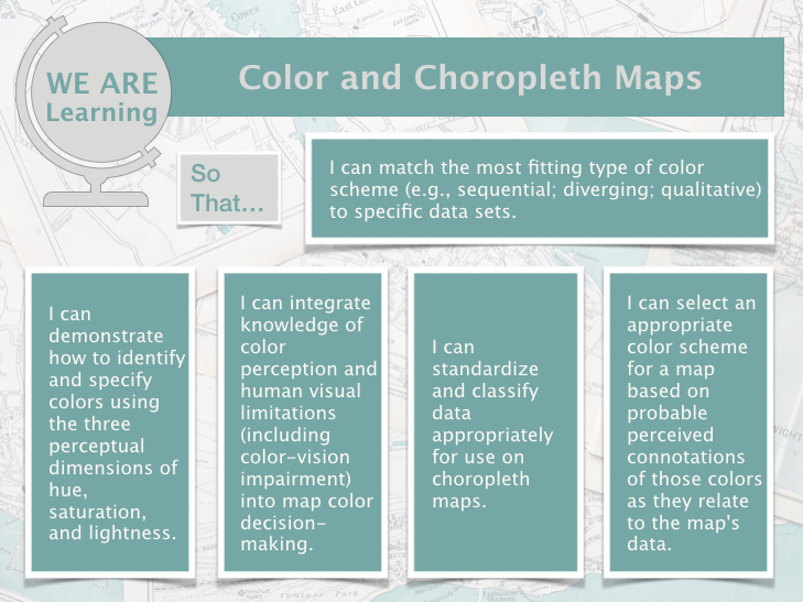
- match the most fitting type of color scheme (e.g., sequential; diverging; qualitative) to specific data sets;
- demonstrate how to identify and specify colors using the three perceptual dimensions of hue, saturation, and lightness;
- integrate knowledge of color perception and human visual limitations (including color-vision impairment) into map color decision-making;
- standardize and classify data appropriately for use on choropleth maps;
- select an appropriate color scheme for a map based on probable perceived connotations of those colors as they relate to the map's data.
Lesson Roadmap
| Action |
Assignment |
Directions |
|---|---|---|
| To Read |
In addition to reading all of the required materials here on the course website, before you begin working through this lesson, please read the following required reading:
Additional (recommended) readings are clearly noted throughout the lesson and can be pursued as your time and interest allow. |
The required reading material is available in the Lesson 4 module. |
| To Do |
|
|
Questions?
If you have questions, please feel free to post them to the Lesson 4 Discussion Forum. While you are there, feel free to post your own responses if you, too, are able to help a classmate.