Introduction
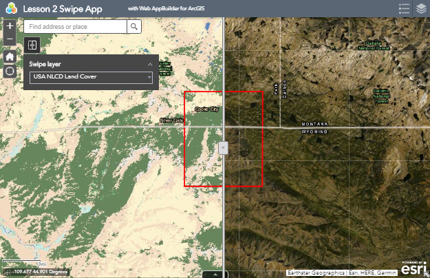
In Lesson 2, we are going to create a website that contains interactive maps with datasets related to our project scenario described in the Introduction. We will create maps and web applications using ArcGIS Online. We will save our maps in the cloud using Penn State’s ArcGIS Online for Organizations account. Our final product will look like the example below.
Lesson 2 will cover the major steps listed below
Part I
- Explore Metadata
- Configure ArcGIS Online Account
Part II
- Explore Imagery Data & Land Cover Data
- Create Imagery & Land Cover Map
Part III
- Configure Swipe Web Application to Display Map
Note
This lesson will provide many details and graphics illustrating how to do each step using ArcGIS Online. Later lessons will not provide as much detail, as we expect you to reference previous lessons and explore help topics if you get stuck.