Overview
In this course, we will focus attention on the problem of GISystem analysis and design. Our goal will be to survey existing design methods as well as the range of possible design choices so that you can make smart decisions when developing GISystems of your own. By the end of the term, you will have applied what you've learned in the form of a term project focused on the design of a new GISystem.
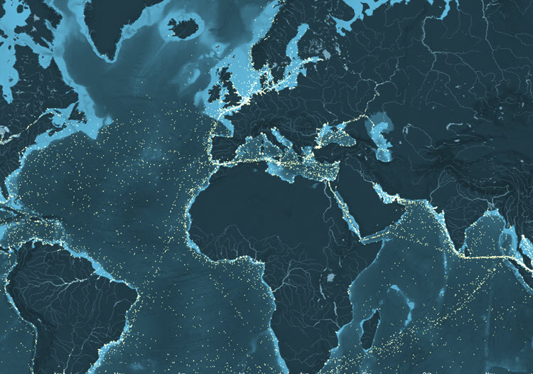
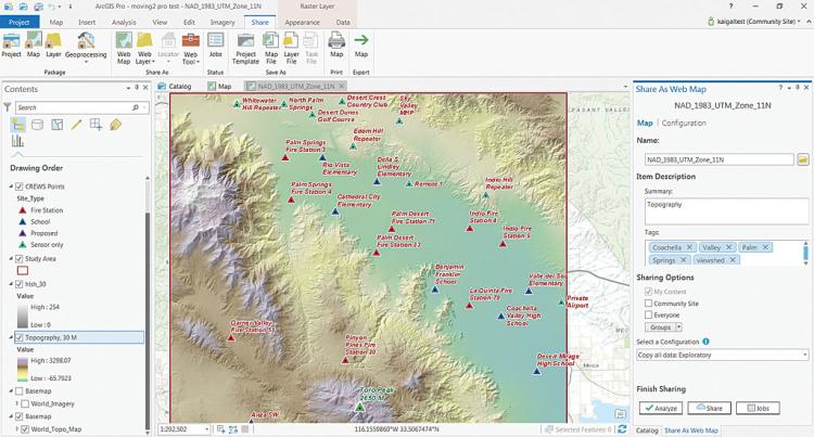
In the past, GIS designs were monolithic and followed very prescribed design patterns (data plugs in here, a map viewer plugs in here, etc...). Today, the users of GIS tools and their derivatives are very diverse and can include experts and novices alike. Also, there is a very wide range now of "types of GIS" - from the desktop tools that many of us were weaned on, to lightweight web applications that are dynamic and interactive.

At the top, the standard ArcGIS Desktop. At the bottom, a scene from ShipMap.org, a project by Kiln and the University College of London's Energy Institute. These are very different tools for very different end-user audiences. Having the right know-how to design a GIS will help ensure that you can meet a range of user needs.
In this lesson, you will learn about the fundamentals of system design, how a design process can be conceptualized, and some of the pitfalls associated with missing the mark when it comes to GISystem design. Along the way, you will also learn about a new technology trend and begin thinking about your term project.
Objectives
At the successful completion of Lesson 1, students should be able to:
- Compare two approaches to database design and/or create a mashup of two designs
- Identify a topic idea for designing and developing a geodatabase design that responds to a design or analysis need
- Conduct a literature search and find 10 articles relevant to your project proposal topic
- Apply common database design approaches to your design structure and workflow
- Discuss the application of emotional and/or agile for database design
Assignments
Lesson 1 is one week in length. Please refer to the syllabus or the course calendar for specific assignment instructions and due dates.
Questions?
If you have questions now or at any point during this week, please feel free to post them in the General Questions Discussion Forum. While you are there, feel free to post your own responses and comments if you are able to help out a classmate.
