Overview
Following needs assessment, the next phase of GISystem analysis & design focuses on identifying project concepts and selecting appropriate system technologies. Specifically, in this lesson, we will focus on what outside vendors provide, and strategies for collecting and evaluating marketing materials to identify workable and effective solutions. In subsequent lessons (5 - 8), we will cover technical solutions that involve building your own systems and choosing between competing options in those circumstances.

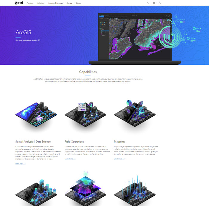
We'll attempt to cut through the fluff in this lesson and dig into what vendors provide on their websites to market their solutions. You will see that a wide variety of content is out there and that it comes in widely-varying levels of technical detail depending on the intended audience.
Objectives
At the successful completion of Lesson 3, students should be able to:
- Review the recent technology trend of Augmented Reality and discuss how it relates to GIS Design
- Describe the different concepts considered for the database design and the concepts selected for the final database structure
- Explain the concept you select for your geospatial design project including the specific features and design elements
Lesson 3 is one week in length. Please refer to the syllabus or the course calendar for specific assignment instructions and due dates.
Questions?
If you have questions now or at any point during this week, please feel free to post them in the General Questions Discussion Forum. While you are there, feel free to post your own responses and comments if you are able to help out a classmate.