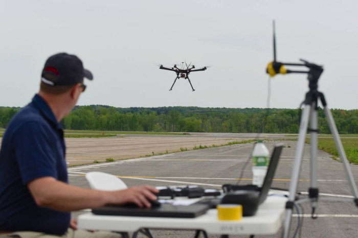
We've covered a lot so far in this lesson, and now you will start putting things together through an applied exercise. You will be working with GIS and UAV data to help develop situation awareness for first responders and search and rescue teams approaching an impacted area - NOTE that this will be a common theme throughout this exercise. These teams need to know quickly whether it is safe for them to proceed and what the conditions on the ground might be like. Imagine you are a geospatial professional supporting these efforts with existing GIS data and UAV data coming in from the field in near real-time.
Note: You will be setting up some software and downloading some relatively large datasets. Please do this early in the lesson even if you are unable to begin the exercise right away.
Here is a quick overview of what you will be doing and how it links with what we have learned so far.
- Part 1: You will gain experience using UAV-derived data products, in particular very high-resolution orthomosaics and 3D textured mesh models. Three case study areas from Switzerland are examined. Note, these represent situations with the technology and capability to develop these products rapidly and represents the cutting edge of what can be done with drone images and photogrammetry. The imagery you will look at does not come from a place with an active event but, as mentioned above, you will assume the role of a geospatial analyst developing an analysis for first responders and search and rescue teams moving into an area with an active incident. Most of your work will focus on the interpretation of an orthomosaic of a large industrial area. Then, you will consider the additional insights you can get from 3D textured mesh data but focused on smaller areas for the purposes of this exercise.
- Part 2: You will shift your focus to the use of UAV data in the immediate aftermath of the direct hit by Hurricane Irma on the small island nation of Antigua and Barbuda. The imagery is similar to what you examined in Part 1 but is coupled with a high resolution "before" satellite image. You will examine the scope of the damage done to the study area and provide some guidance to search and rescue and damage assessment.
- Deliverable: You will write two short reports for Part 1 and Part 2 that provide advice to emergency responders on what you have observed from the image analysis. As part of this, you will reference and provide some maps/screenshots of relevant parts of the UAV derived scenes.
See the following pages for more details.