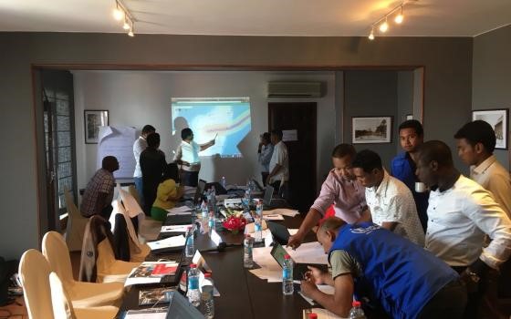
In this lesson, we will rely on our new knowledge of geospatial perspectives and technology as it is used in the four stages of emergency management to develop scenarios that can be used to inform the design of new geospatial systems for emergency management. Scenarios are a key creative mechanism for evaluating system designs against the likely impacts and outcomes from a hypothetical disaster situation. You will learn about scenarios and then develop your own.
What You Will Learn
By the successful completion of this lesson, you should be able to:
- describe the key components of scenario design
- produce compelling scenarios that focus on the use of geospatial applications and technology during a hypothetical emergency event.
- explain and discuss why mapping social media is relevant to geospatial systems for emergency management
What You Will Do
Lesson 7 is one week in length. To finish this lesson, you must complete the activities listed below.
| To Read |
|
|---|---|
| To Do |
|
Please refer to the Course Calendar for specific due dates.
Questions?
If you have questions about the content or lesson activities, please post them to the General Questions and Discussion forum in Canvas. While you are there, feel free to post your own responses if you, too, are able to help a classmate. If your question is of a personal nature, please email me directly through Canvas.