
This week, we focus on the first of the four phases of emergency management - vulnerability assessment and hazard mitigation. We will read about risk mapping and vulnerability assessment using spatial data and GIS. Building on the background knowledge we've gained from previous lessons, each of you will conduct an analysis of Heatwave vulnerability, impacts, and mitigation strategies using social and environmental data. You will also continue making progress on the term project assignment.
CC BY-NC-SA 4.0
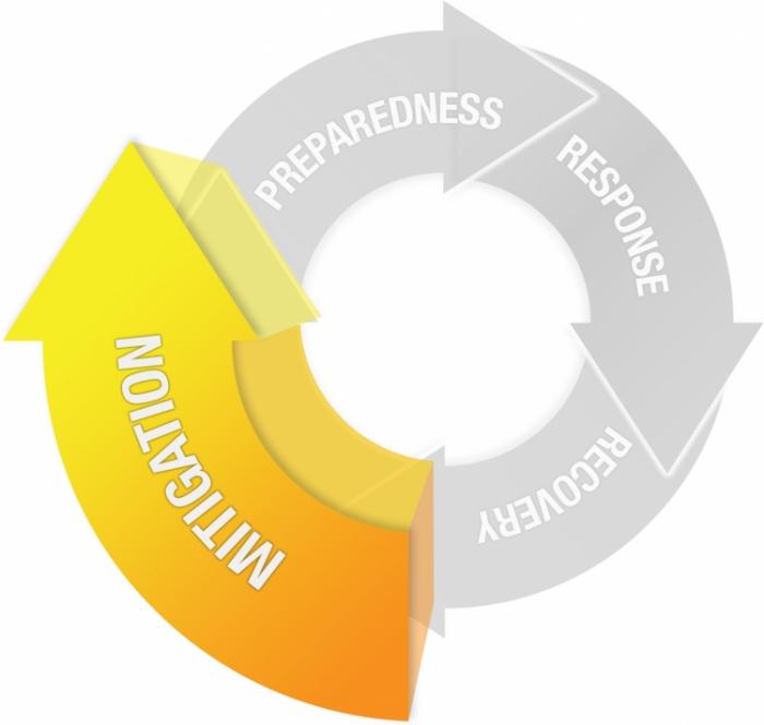
Mitigation
The improvement of the built and social environment in order to reduce, withstand, or prevent disaster impacts.
- Hazard Analysis
- Vulnerability Assessment
- Scenario Development
- Community Engagement and Education
- Planning and Infrastructure Work
What You Will Learn
By the successful completion of Lesson 3, you should be able to:
-
describe the concepts associated with risk mapping and vulnerability assessment,
-
conduct your own vulnerability assessment using social and environmental spatial data and summarize your findings in a short essay,
-
conduct background research for your final project,
-
and discuss the technology trend of volunteered geographic information (VGI).
What You Will Do
Lesson 3 is one week in length. To finish this lesson, you must complete the activities listed below.
| To Read |
|
|---|---|
| To Do |
|
Please refer to the Calendar in Canvas for specific timeframes and due dates.
Questions?
If you have questions about the content or lesson activities, please post them to the General Questions and Discussion forum in Canvas. While you are there, feel free to post your own responses if you, too, are able to help a classmate. If your question is of a personal nature, please email me directly through Canvas.