A. Reality Modeling
A. Reality Modeling
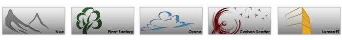
Reality models provide real-world context using aerial imagery and/or photographs. Technologies like 3D imaging and photogrammetry with the use of UAVs (unmanned aerial vehicle) provide these images to be used in software for converting a 2D map to a 3D model. Examples of software for this approach are ContextCapture by Bentley and VUE, PlantFactory, Ozon, Drone2Map by ESRI, or CarbonScatter by E-on.
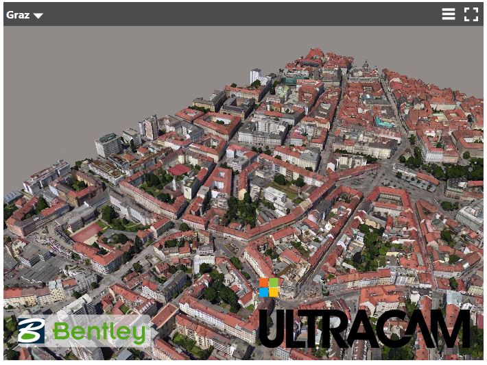
Figure: 3D model city of Graz using aerial imagery captured by Microsoft Ultracam and modeled by Bentley's ContextCapture.
Credit: Bentley [1]
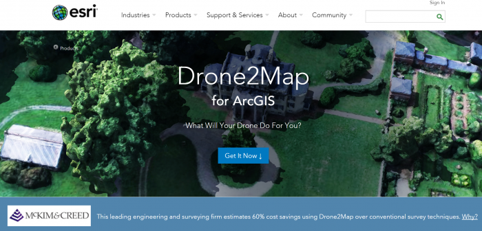
Figure: ESRI Drone 2 Map
Credit: ESRI
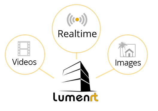
LumenRT, for example, is an E-on software licensed by Bentley. It can create real-time immersive experiences. It presents a combination of tools that create ultra-high-definition videos and photographic images for 3D projects.