Chapter 7 - Evidence Development
Chapter 7 Overview
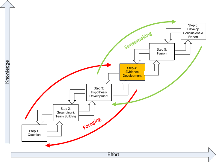
This chapter discusses the fourth step of the SGAM, highlighted below in gold, Evidence Development.
How do you choose your evidence? By basic definition, evidence is proof supporting a theory. The term evidence in geospatial intelligence includes the combination of aspatial evidence and spatial evidence to increase the estimate of the probability of the truthfulness of a hypothesis. It is important to note that evidence is dependent on the agent that estimates the probability. This is to say, a map, data, or textual information is regarded as evidence only when it is compatible with the hypothesis.
The goal is thinking with the evidence vs. thinking about the subject matter of the evidence. This is an important distinction and critical to the use of evidence to explain other evidence, solving problems, and formulating a perspective. Evidence includes assumptions and logical deductions as well as specific reported or researched items. Assumptions or logical deductions about how things normally work are often more important than hard evidence in determining analytical conclusions. Using geospatial tools, you can begin to further identify and characterize patterns. Here, developing evidence requires an understanding of the data, domain, and how to appropriately manipulate the data. These internal rule sets allow an analyst to evaluate evidence. The internal rule sets can be modified and enhanced as additional information is added and integrated into thinking. Sources of evidence may include:
- Print sources including maps, text books, and photos
- Electronic sources including digital geographic databases, imagery, photos, spread sheets, graphs, etc. from Internet sites such as Twitter, Facebook, blogs, MySpace, Flickr, YouTube, etc.
- Interviews, surveys, and intercepts
- Experiments such as GIS modeling, statistical models, geovisualization, data exploration, geostatistics, network analysis, etc.
- Personal experience
The absence of evidence is also evidence and should be noted. Not all evidence needs to be included. Old evidence is likely to bias the analysis in favor of concluding that the status quo will continue. If there is going to be a significant change, that may well be apparent only from the recent evidence.
Memory Aid
The following actions help the analyst to develop evidence.
Action 1: Make a list of the significant evidence.
Action 2: Acquire or develop missing evidence. The recognition, collection, development, and effective presentation of evidence is essential to successful analysis. Use GIS and remote sensing tools to develop evidence in support your analysis.
Action 3: Describe the evidence. Does this occur in life, physical, or intellectual space? What does the evidence teach about the fundamental spatial questions of where, what, and how objects are linked? What are the important spatial qualities and relationships?
Action 4: Evaluate the evidence. Evaluate:
- Credibility - Trustworthy source, author’s credentials, evidence of quality control, known or respected authority, organizational support.
- Accuracy - Lineage, positional accuracy, attribute accuracy, logical consistency, temporal quality, and resolution.
- Reasonableness - Fair, balanced, objective, reasoned, no conflict of interest, absence of fallacies or slanted tone.
- Support - Listed sources, contact information, available corroboration, claims supported, documentation supplied.
Action 5: Check for significant missing evidence. Ask yourself for each hypothesis: If this hypothesis is true, what are all the spatial qualities and relationships that must have happened and what evidence of this should I expect to see? Then ask: If I am not seeing this evidence, why not? Is it because it is not happening, it is being concealed, or because I have not looked for it? Include as evidence the absence of things you would expect to see if a hypothesis were true.
Action 6: Check for deception. If you are uncertain whether an item of evidence is deceptive, enter that evidence twice, once with the assumption that it is not deceptive, and once with the assumption that it is deceptive.