Instructor Information
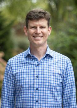
Spring 2024 - Ryan Baxter
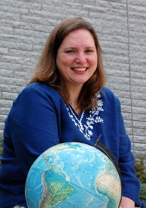
Summer and Fall 2024 - Michelle Zeiders
Ryan Baxter

Email: Please use the course email system in Canvas. I check email and the course forums at least once per weekday and once on weekends unless I notify you otherwise. You may also email me directly at rbaxter@psu.edu.
Office hours: By appointment.
Bio: I am an Associate Teaching Professor in the Department of Geography at Penn State. I teach courses in the Penn State Online Geospatial Program and undergraduate GIS courses in the Department of Geography. I am very excited about the opportunity to work with you through this course!
Since 1998 I have worked on spatial data management and distribution projects. In particular, I have been the lead developer and system administrator for Pennsylvania Spatial Data Access (PASDA), which is Pennsylvania’s official spatial data clearinghouse. I’ve been involved in developing online map services and applications since the early days of GIS servers, when we used tools like ESRI’s ArcIMS and Autodesk MapGuide. PASDA has also engaged with emerging data distribution systems, like ESRI’s Geography Network and ArcGIS Online, but we primarily host data locally and publish it using ArcGIS Server on the back-end and a custom user interface. Staying current with the latest technologies and data formats is one of our greatest challenges and keeps us on our toes!
My research and project work occur mostly through my affiliation with Penn State’s Institutes of Energy & the Environment (IEE). Another data management effort that I support is the Penn State Data Commons, which assists Penn State researchers to organize the results of their projects and provides a repository where their (often very big) data is stored and made publicly discoverable and accessible. My scholarly research efforts relate to the land use implications of energy crop production (like switchgrass and winter rye) and identifying suitable lands on which to produce such renewable energy.
I’m looking forward to exploring cloud & server GIS with you and learning from your own experiences!
RYAN BAXTER: Hi. I'm Ryan Baxter, a faculty member in Penn State's department of geography and online GIS programs. I live in State College, Pennsylvania with my amazing wife and two boys, not too far from Penn State's main campus. Right now, I'm standing at one of the university's agricultural research fields, which has some examples of the kinds of research I like to do in land use change, and how we utilize our land resources and impact our land resources. I'm very curious about how we can use biomass, like corn or forest products or more peculiar things like switchgrass and miscanthus to produce renewable energy. And for many years, I've also had the privilege of being a technical developer for some large data management projects, most notably Pennsylvania's Spatial Data Clearinghouse, where I've been able to get my hands dirty with programming, database management, and system administration. And this combination of research GIS applications and technical experience has given me the opportunity to teach some really fun courses in topics ranging from energy and environment to cloud and server GIS technologies. So I appreciate you taking this time with me, and I really look forward to working with you down the road.
Michelle Zeiders (Summer and Fall 2024)

I am an Assistant Teaching Professor in the Online Geospatial Education Program. In addition to teaching courses for the OGE Program, I have taught and worked on research projects for the Geographic Information Analysis (GIA) Core at the Penn State Social Science Research Institute. Before coming to Penn State, I worked as a GIS Project Manager and Instructor for the Institute for Transportation Research and Education at North Carolina State University, a GIS Project Manager at a civil engineering firm, and a GIS Engineer at Mapquest. I earned a Master of Science degree in Geoenvironmental Studies from Shippensburg University.
Contact Information
2217 EES Building
Dutton e-Education Institute
College of Earth and Mineral Sciences
The Pennsylvania State University
University Park, PA 16802
EMAIL: Please use the Canvas Inbox to send messages to the instructor.
AVAILABILITY: Students are welcome to contact the instructor anytime. You will get a response within 24 hours, typically much sooner. Although Canvas messages are the preferred methods of correspondence, students may also arrange to contact the instructor by telephone.
Meet Michelle Zeiders, instructor of GEOG 487 (1:11 minutes).
MICHELLE ZEIDERS: Hi, my name is Michelle Zeiders. And I have been a member of the online geospatial education program faculty since 2007. I teach several introductory courses in our program. Before coming to Penn State, I worked in private industry for about 10 years as a GIS analyst, a project manager, and a researcher. I really do enjoy teaching in our program. And one of the reasons for that is our fantastic students. Our adult learners are really focused and committed to learning. I also enjoy learning and exploring unique places and new things. Every year, my family and I plan a road trip during the summer to visit national parks. We're trying to visit all 59 before my sons graduate from high school. This past summer, we drove from Las Vegas to Seattle. And we were lucky enough to visit nine different national parks. I'll see you in class.