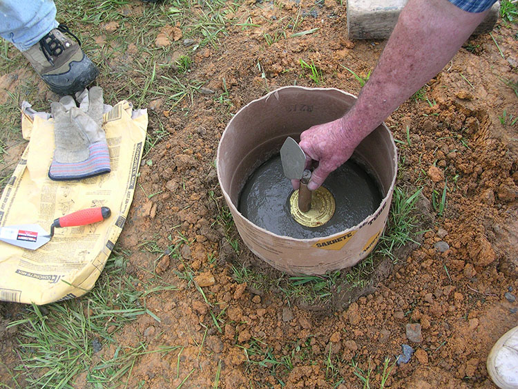
The monumentation set for GPS/GNSS projects varies widely and can range from brass tablets to aerial premarks, capped rebar or even pin flags. The objective of most station markers is to adequately serve the client's subsequent use. However, the time, trouble, and cost in most high-accuracy GPS/GNSS work warrants the most permanent, stable monumentation. Many experts predict that GPS/GNSS will eventually make monumentation unnecessary. The idea foresees GPS/GNSS receivers in constant operation at well-known master (i.e. CORS) stations will allow surveyors with receivers to determine highly accurate relative positions with such speed and ease that monumentation will be unnecessary. The idea may prove prophetic, but, for now, monumentation remains an important part of most GPS/GNSS projects. The suitability of a particular type of monument is an area still most often left to the professional judgement of the surveyors involved.