
The India-Bangladesh Ganges River Split
Bangladesh achieved independence from Pakistan in 1971, following a short uprising. Bangladesh occupies the region of the original state of Bengal in India, which first became East Pakistan in 1947. India supported Bangladesh in the conflict with Pakistan.
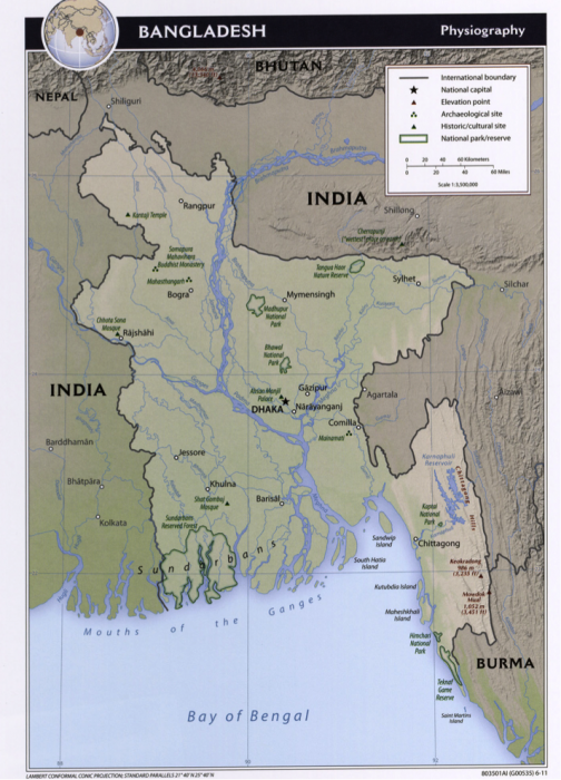
The Ganges River (Fig. 3) was supposed to be shared in some way between India and Pakistan. It is fed by many tributaries (54) the largest of which is the Brahmaputra River that flows through Bangladesh, but most of the Ganges River Basin is in northeastern India. Summer monsoons deliver nearly 80 percent of annual rainfall for this region resulting in peak river flows from June-September. In an average year, it is estimated that 1200 billion m3 of precipitation falls in the Ganges catchment. Of this, nearly 500 billion m3 moves downriver. Dry season flows are much reduced.
India's proposal to construct the Farraka Barrage (a large dam) in West Bengal on the Ganges River right near the border led the two countries to meet over disputed water claims that originated in the 1950s following Bangladesh statehood. There was no resolution to the conflict and the dam was put into place by India without an agreement, with completion in 1975. The dam was constructed to divert some proportion of the Ganges flow into the Hooghly River (during the dry season in order to remove silt that was negatively affecting the port of Calcutta or Kolkata, Fig. 3). Although Bangladesh complained to the United Nations following severe water shortages in 1976, there was no significant resolution until 1996, when India and Bangladesh signed a 30-year treaty that provided for the partitioning of the flow of the Ganges River. The Ganges forms a border between the two countries for part of its course and continues to flow through Bangladesh to the Bay of Bengal. The 1996 treaty guaranteed India a flow of nearly 1000 m3/sec between January 1 and May 31. Much of the time Bangladesh receives less water than allocated by the treaty. India's population in 1950 was 376.3 million while the population of Bangladesh was only 37.9 million. Now India's population is 1.267 billion, (386 people/km2) and the Bangladesh population is 158.5 million (1101 people/km2). Bangladesh has a much greater population density but both countries have a great need for clean water and dependable water supply.