Background Information
Sewage Sludge Disposal
Sewage sludge is the solid waste created during the process of domestic wastewater treatment. This material is often inadvertently contaminated with many toxic organic and inorganic compounds. Lesson 8 focuses on the identification of suitable locations within the Lake Raystown Watershed, where processed sewage sludge can be applied to the soil surface as part of a controlled bio-degradation treatment alternative. There area two primary advantages of this process: 1) the natural renovative capabilities of the soil are used to further break down residuals that remain after standard wastewater treatment processes, and 2) the nutrient-rich sludge material serves as a beneficial soil amendment which can complement, and in many cases replace, standard fertilization practices.
An important consideration in evaluating the suitability of potential sewage disposal sites is the potential impact such sites might have on existing groundwater quality. There are a number of approaches that can be used to evaluate pollution problems associated with groundwater resources, ranging from very complex to relatively simple. An example of a complex approach is the use of sophisticated computer models (such as the MODFLOW model developed by the U.S. Geological Survey) to track the dispersion of contaminants through the soil profile and beyond. While this approach may help one to accurately quantify contaminant movement and loads, it does have a very serious limitation in the form of very extensive data needs. For this reason, simpler, empirical approaches are often used to evaluate pollution potential. One such approach is the DRASTIC methodology developed by the U.S. Environmental Protection Agency.
DRASTIC Methodology
"DRASTIC" is an acronym in which each letter stands for one of seven hydrogeological parameters that directly influence the movement of pollutants into and through the soil and sub-soil layers. Measurements within each parameter are assigned DRASTIC Ratings between 1 and 10 based on how they affect the movement of contaminants. Some of the parameters (e.g., depth to groundwater) have a much greater influence on the overall groundwater vulnerability than others. This is incorporated into the DRASTIC Index calculation by assigning weights to each of the parameters based on their relative importance. Areas with higher DRASTIC Index Scores are more likely to experience groundwater contamination in the event of a release than areas with low DRASTIC Index Scores.
The equation to calculate the DRASTIC Index is:
$$(\mathbf{D} \times 5)+(\mathbf{R} \times 4)+(\mathbf{A} \times 3)+(\mathbf{S} \times 2)+(\mathbf{T} \times 1)+(\mathbf{I} \times 5)+(\mathbf{C} \times 3)$$The seven parameters are briefly described below:
- D - Depth to Groundwater Parameter
- Depth below the surface that groundwater is located.
- DRASTIC Ratings range from 1 (deep depth to groundwater) to 10 (shallow depth to groundwater).
- Relative Importance: highest weight (5).
- R - Net Recharge Parameter
- Rate at which water infiltrates through the soil and into the groundwater.
- DRASTIC Ratings range from 1 (slow recharge rate) to 9 (fast recharge rate).
- Relative Importance: high weight (4).
- A - Aquifer Media Parameter
- Rock type the groundwater (aquifer) is located in.
- DRASTIC Ratings range from 1 (material impedes water movement) to 10 (material encourages groundwater movement).
- Relative Importance: medium weight (3).
- S - Soil Media Parameter
- Soil type the water must travel through to reach the groundwater.
- DRASTIC Ratings range from 1 (material impedes water movement) to 10 (material encourages groundwater movement).
- Relative Importance: low weight (2).
- T - Topography (Slope) Parameter
- How steep or gentle the slope is.
- DRASTIC Ratings range from 1 (steep slope - water likely to run off) to 10 (gentle slope / water likely to infiltrate).
- Relative Importance: lowest weight (1).
- I - Impact of Vadose Zone Parameter
- The vadose zone is the area beneath the surface that is not saturated with groundwater.
- DRASTIC Ratings range from 1 (impedes water movement /breaks down contaminants) to 10 (encourages water movement / does not break down contaminants).
- Relative importance - highest weight (5).
- C - Hydraulic Conductivity Parameter
- Ability of the aquifer to transmit water.
- DRASTIC Ratings range from 1 (low water transmission ability) to 10 (high water transmission ability).
- Relative importance - medium weight (3).
Study Area
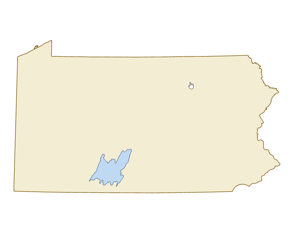
The Lake Raystown watershed is located in South Central Pennsylvania and covers an area of approximately 1,000 square miles. Contained within this watershed is Raystown Lake. This man-made recreational lake was created as a flood control dam designed to protect the populated areas from Huntingdon, Pennsylvania to the mouth of the Susquehanna River.