Welcome!
This course material requires a user account. Registered METEO 801 students and alumni can login by clicking on the "login" link above (Penn State userID and password required). If you are not yet enrolled, please see the information presented below to learn more about this course.
Quick Facts about METEO 801
METEO 801 is part of the Master of Education in Earth Science program. It is designed to give educators a better understanding of the basic processes that govern the atmosphere in the midlatitudes. It is offered every Fall (August - September) and Summer (May - August) semester.
Course Prerequisite(s): none
Why learn about weather forecasting?
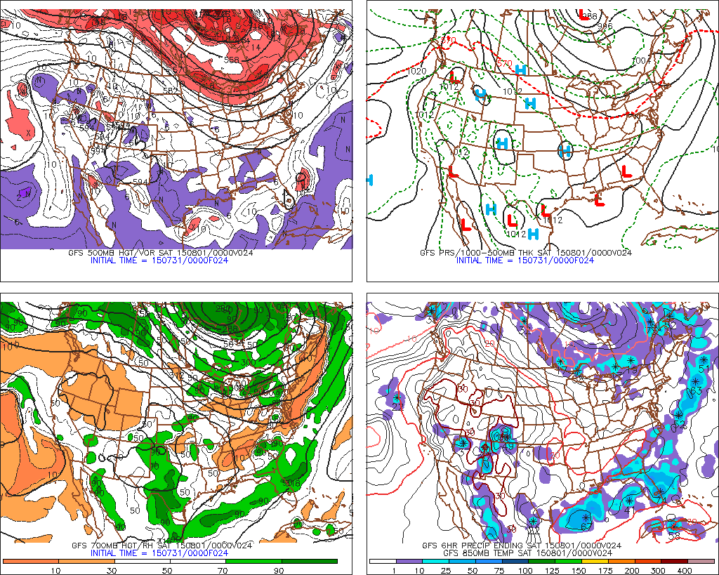
Never before has the quantity of available weather information so far exceeded the quality of the public's understanding of atmospheric science. For example, computer generated forecasts (or "progs") like the one shown on the right are readily accessible to the general public. What does such data mean? METEO 801 aims to help correct this imbalance by helping teachers to develop the knowledge and skills they need to become critical consumers of weather information and to, in turn, help their own students to do the same. Students who successfully complete METEO 801 will be able to apply knowledge of fundamental concepts of atmospheric science to discriminate between reliable and unreliable weather forecasts, to explain what makes one forecast better than another, and to teach these same concepts and applications to secondary school students.
What will you learn in this course?
METEO 801 seeks to give you a better understanding of atmospheric structure and processes so you can better apply the weather information you encounter. With this knowledge of how the atmosphere works, you'll be able to understand what controls the evolution of storms and appreciate why weather forecasts are sometimes highly uncertain. You will also learn to "read" the sky so you can make your own short-term forecasts and adjust your behavior accordingly. Here is a breakdown of what you will learn.
Lesson 1: An Introduction to Atmospheric Variables (observation times and procedures, time conversion and UTC, station models, temperature, dew point temperature, visibility and current weather, cloud cover, pressure, wind, METARs )
Lesson 2: Data, Data Everywhere (reading and drawing contour maps, gradients, buoy/ship data, map projections, meteograms)
Lesson 3: Remote Sensing of the Atmosphere (remote sensing versus in-situ measurements, electromagnetic spectrum, Stefan-Boltzmann Law and Wien's Law, radiation processes, albedo, polar orbiting versus geostationary satellites, visible imagery, IR imagery, water vapor imagery, radar)
Lesson 4: Controllers of Air Temperature (seasonal changes, local climatic controllers, surface energy budget, conduction and convection, advection, nocturnal inversion, latent heat)
Lesson 5: Controllers of the Wind (displaying wind data, PGF and Coriolis forces, geostrophy, friction, wind direction from pressure maps, centers of high and low pressure, surface troughs and ridges, convergence and divergence)
Lesson 6: Vertical Variations in Temperature (skew-T diagrams, profiles of temperature and dew point, mixing ratio and relative humidity, clouds and precipitation on a skew-T, dry versus moist ascent, stability, identifying the boundary layer and tropopause, orographic lift, stratiform versus convective clouds)
Lesson 7: Patterns of Pressure and Wind Aloft (constant pressure surface, decrease in pressure with height versus temperature, upper-level troughs and ridges, upper-level winds, jet stream and jet streaks, clear air turbulence)
Lesson 8: Upper-level Winds and Their Roles in Surface Highs and Lows (vorticity (relative, earth and absolute), short waves, vorticity extremes, conservation of angular momentum for a parcel, convergence/divergence effect on surface pressure)
Lesson 9: The Cyclone Model (air masses and fronts, mid-latitude cyclones (initiation, self-development, occlusion, decay), conveyor belts, propagation)
Lesson 10: Numerical Weather Prediction (computer simulations, model errors, types of weather models, guide to a 4-panel prog, forecasting strategies, medium-range and ensemble forecasting)
Lesson 11: Forecasting High and Low Temperatures (Model Output Statistics (MOS), reading MOS output, MOS biases, the 850-mb method, climatology and persistence forecasting)
Lesson 12: Forecasting Precipitation (PoP, model generated QPF, forecasting snow amount, forecasting sleet and freezing rain, precipitation forecast data sources)
How does this course work?
All course materials are presented online. The course lessons include many animations and interactive tools to provide a tactile, visual component to your learning. Your instructor will assess your progress through online quizzes, lab exercises, and projects, all of which focus on your ability to analyze key observational and forecast information regarding current or past weather events. Most deadlines in this course occur every week on Friday night. You should expect to spend 8 to 10 hours per week studying the lesson material and completing assignments to stay on pace.