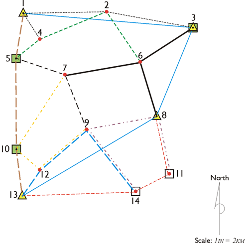
A GPS Control Network
Source: GPS for Land Surveyors
Network and multireceiver positioning are obvious extensions of relative positioning. Both the creation of a closed network of points by combining individually observed baselines and the operation of three or more receivers simultaneously have advantages. For example, the baselines have redundant measurements and similar, if not identical, range errors (biases). The processing methods in such an arrangement can nearly eliminate many of the biases introduced by imperfect clocks and the atmosphere. These processing strategies are based on computing the differences between simultaneous GPS carrier phase observations.