Course Author
Instructor (Spring 1, Summer, Fall 1)
Karen Schuckman, PLS, CP, CMS-Lidar, MGIS
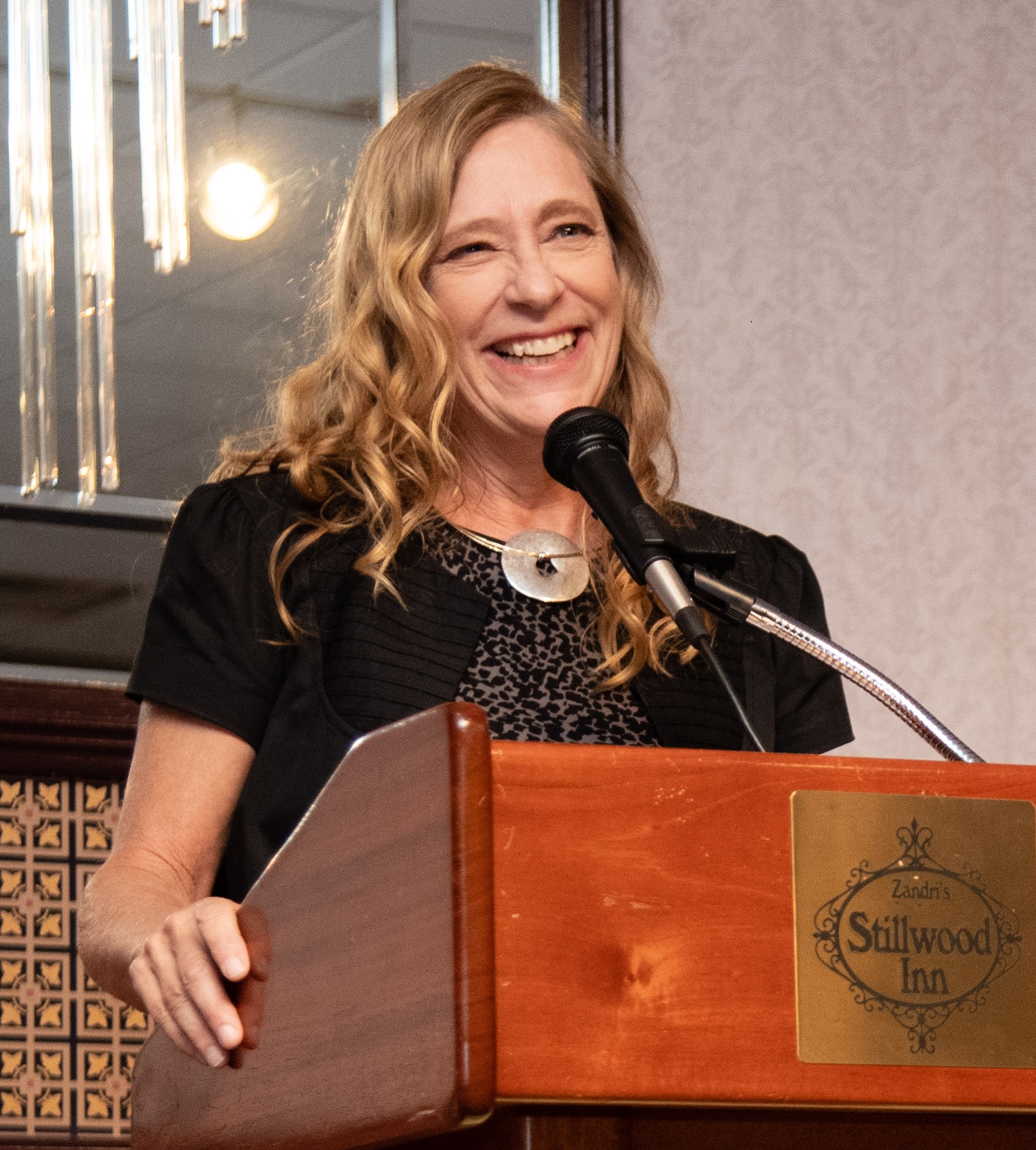
Karen Schuckman is an Assistant Teaching Professor at Penn State University, teaching remote sensing and geospatial technology in the online programs offered by the John A. Dutton e-Education Institute. She has been teaching at Penn State since 2007, prior to which she worked extensively in private industry as a photogrammetrist and GIS consultant. She also serves as a Program Manager for the American Society for Photogrammetry and Remote Sensing (ASPRS).
As the Geospatial Technology Leader at URS from 2005 - 2006, Karen supported response, recovery and mitigation projects following Hurricanes Katrina, Rita, and Wilma. From 1995 - 2005, she was with the EarthData group (now Fugro EarthData), where she held several positions including geospatial applications director for EarthData Solutions, senior vice-president of EarthData Technologies, and president and general manager of EarthData International of North Carolina. Notable projects led by Ms. Schuckman for EarthData include lidar acquisition for the North Carolina Floodplain Mapping Program, numerous transportation mapping projects for state DOT's, and technology demonstration projects for NOAA, NASA and the US Department of Transportation.
Prior to joining the private sector, Karen worked for the USGS National Mapping Division in Menlo Park, California. She has served as President of the ASPRS from 2005-2006, vice-chair of the NOAA Advisory Committee on Commercial Remote Sensing (ACCRES), member of the National Research Council's Committee on Floodplain Mapping Technologies and the Committee on FEMA Flood Maps. She is an ASPRS Certified Photogrammetrist (CP), an ASPRS Certified Mapping Scientist-Lidar, a Professional Land Surveyor (PLS) licensed in North Carolina and Virginia, and she also holds a BS degree in Meteorology and a Master's in Geographic Information Systems from Penn State University.
Karen attended Penn State as an undergraduate and was a member of the Women's Gymnastics Team from 1974 - 1979, winning individual national championships in All-Around, Floor Exercise and Vaulting, and was Penn State's first female All-American athlete. She is married to former Southern Illinois University gymnast Mark Davis, and lives in Centre Hall, PA.
Contact Information:
Karen Schuckman, CP, PLS, MGIS
Assistant Teaching Professor
Department of Geography
Pennsylvania State University
2217 Earth-Engineering Sciences Building
University Park, PA 16802-6813
- Phone: 814-325-7473
- Email: kschuckman@psu.edu
You can learn more about Karen Schuckman by watching the following 2:14 minute video.
I'm Karen Schuckman and I'm the lead faculty for the Remote Sensing and Earth Observation Certificate Program at Penn State. And these are my friends, Isabella and Harley. And horses are really an important part of my story about how I became a photogrammetrist and ended up being an instructor here at Penn State. When I was in high school, I was an Olympic gymnast and a National Merit scholar. I had a lot of choices about where to go to school, although at that time there were no scholarships or varsity gymnastics in college for women. Thanks Isabella.
So I came, I did come to school here, I was actually a meteorology major, and I learned to ride horses not far from here over in the Oak Hall Quarry. I moved to California at a certain point and lived outside of Fresno and to make a long story short, ended up owning a small horse ranch with harness racing horses. And I was just a horse trainer and a mom at the time. And there was an accident on our farm that sort of caused me to do a reality check on my professional life and at the local university, Cal State Fresno, they happened to have a really good program in their civil engineering department that included surveying and photogrammetry.
I worked in private industry and surveying mapping for almost 20 years and reached a point in my life where I decided I was ready to do something a little bit different. Part of the reason I came to teach at Penn State is because of my love for this area and the landscapes. We're actually standing in my front yard right in front of my home office. So not only am I using this area as a way of teaching you about remote sensing, but I'm also able to communicate my real appreciation and love for the beauty of the landscape here in central Pennsylvania. So here I am and I hope to stay here for a long time to come and get to meet many of you as you become my students.
Bradley Doorn (Spring 2, Fall 2)
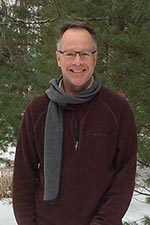
Dr. Doorn is the Program Manager for Water Resources in the Applied Science Program of the Earth Science Division of NASA. With over 35 years of experience in applying remote sensing data to earth application issues, Dr. Doorn now manages over 20 applied research projects led by investigators across the U.S. He also serves as the Applied Sciences Project Scientist for Agriculture-related initiatives and serves on multiple satellite mission support teams and national committees. Previously, Dr. Doorn was the Division Director of the International Production Assessment Division in the Office of Global Analysis, Foreign Agricultural Service (FAS), USDA.
He also spent nearly 10 years on active duty as a Topographic Engineer for the U.S. Army. Dr. Doorn spent five years in private industry as a manager and specialist in remote sensing, GIS, and mapping for numerous engineering and environmental projects. He is a long time member and officer (including President) of the American Society for Photogrammetry and Remote Sensing (ASPRS). Dr. Doorn received his doctorate and master’s degrees from The Ohio State University in Geodetic Science and Surveying and his bachelor’s degree in Geological Engineering from South Dakota School of Mines and Technology.
Program Scientist/Manager
Water Resources and Agriculture Program
NASA/Earth Science Division
Washington, D.C.
- Email: bxd84@psu.edu
You can learn more about Dr. Doorn by watching the following 1:13 minute video.
BRAD DOORN: Hi. My name is Brad Doorn. I teach remote sensing for the Penn State Geospatial online program. The first thing I'd like you to know about me is that I really, really love what I do in my field of study, and I want to share that with you.
Ironically, I got involved in this by chance. I was in the Army, and they chose to send me to graduate school. My first choice was geochemistry. They picked my second choice, and it was Geodetic Science, that is, mapping the earth. And since then I've been sort of developing in this field, including remote sensing from USDA, where we've monitored the global crops around the world for commodity markets and for food security issues.
My latest stop has been at NASA, where I help run the Water Resources Program and the Agriculture Programs there. I have been blessed my whole career with all these great missions. It all started by sort of a fluke, the Army picking a job for me, and I'd like to share that with you and share it with young professionals. And I hope I can see you in the class soon.