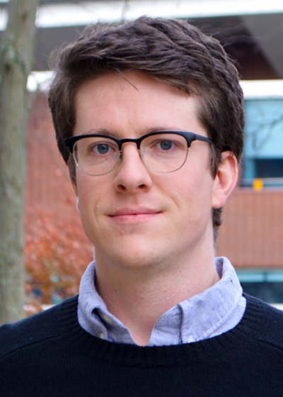
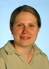
Contact Information
2217 EES Building
Dutton e-Education Institute
College of Earth and Mineral Sciences
The Pennsylvania State University
University Park, PA 16802
EMAIL: Please use the Canvas Inbox to send messages to the instructor.
Professor Introductions
Video: Ryan Baxter - (1:33)
RYAN BAXTER: Hi. I'm Ryan Baxter, a faculty member in Penn State's department of geography and online GIS programs. I live in State College, Pennsylvania with my amazing wife and two boys, not too far from Penn State's main campus. Right now, I'm standing at one of the university's agricultural research fields, which has some examples of the kinds of research I like to do in land use change, and how we utilize our land resources and impact our land resources. I'm very curious about how we can use biomass, like corn or forest products or more peculiar things like switchgrass and miscanthus to produce renewable energy. And for many years, I've also had the privilege of being a technical developer for some large data management projects, most notably Pennsylvania's Spatial Data Clearinghouse, where I've been able to get my hands dirty with programming, database management, and system administration. And this combination of research GIS applications and technical experience has given me the opportunity to teach some really fun courses in topics ranging from energy and environment to cloud and server GIS technologies. So I appreciate you taking this time with me, and I really look forward to working with you down the road.
Video: Amy Burnicki - (1:40)
Hello. I'm Amy Burnicki, an Associate Teaching Professor in the Department of Geography and the Online Geospatial Education Program. I'm a GI scientist interested in applying spatial data analysis, spatial statistics, and quantitative modeling approaches to investigate patterns. Early in my career my research focused on quantifying and modeling landscape change and investigating the impacts of air and uncertainty on land change analyzes. More recently, I collaborated with transportation and environmental engineers on a variety of projects from modeling pedestrian crosswalk volumes, to investigating the impacts of our changing climate on water infrastructure. What ties my work together is my love for examining spatial patterns and investigating the techniques required to quantify and model them. As an instructor in the online geospatial program my goal is to illustrate the connections between GI science principles and methodologies and their practical application in solving real world challenges. Outside of work, my family and I can often be found outdoors enjoying our next Outside of work great family adventure, whether it's hiking in a forest, or up a mountain, paddling down a river outdoors or relaxing on the beach, we love to get out and discover new places. I also love visiting art, new cities, and exploring the local art museums. Some of my favorite works of art are sculptures and paintings that manage to bring these two activities together. The online geospatial education program has fantastic students and I'm excited to work with you! See you in class.
Harrison Cole

I hold a Ph.D. in Geography from Penn State, where I conducted my dissertation research on designing tactile maps for blind and low-vision users. In a professional capacity, I have created maps for a diverse range of clients and venues, including books published by Stanford University Press and The University of Chicago Press, academic research articles, conference presentations, grant applications, and compliance reports.
Topical interests include biogeography, movement ecology, ornithology, logistics, virtual and augmented reality, mixed media maps, early digital cartography, and geospatial visualization in landscape architecture.
Video: Brandi Gaertner - (0:52)
I’m Dr. Brandi Gaertner. I am a climate change hydrologist and I study the impact of climate change on growing season length, which is the amount of time trees stay green. I have a Master of Science in Online Technology and Instructional Design and I'm also working on a Master of Education and Lifelong Learning and Adult Education. Both of these degrees have taught me the value of an open communication learning environment. With that in mind, feel free to contact me even if its just to say hi. I have a lot of hobbies outside of academia including running, walking, hiking and reading. I also have a daughter, Anna Marie. She was born July of 2021 and she keeps life very fun and interesting. I look forward to meeting you in the future and have a great day.
Video: Panagiotis Giannakis - (1:06)
Hello everyone. My name is Panagiotis Giannakis but everyone around her knows me and calls me Panos. I am a faculty member in the Geography Department at the Pennsylvania State University and I did several online courses including Database Development, GIS Programming, and Open Web Mapping. The road that led me to State College and the Penn State has been a rather long one. I grew up in Greece. I came in 2013 in the United States in order to study and get my Ph.D. from the University of Arkansas. I spent more or less all my life inside academic institutions studying, working, and teaching so when I got the opportunity to come here in Penn State I was more than excited. As a geographer I truly loved traveling and exploring new places and so far I have managed to visit more than 20 countries. While in the United States the goal that me and my wife have set is to visit all 50 states and we're already more than halfway done. I honestly think that this is a wonderful program and I really hope that I will see you in one of my classes in the future.
Amy Griffin

I am an instructor for this course as well as GEOG 586: Geographic Information Analysis. I am currently a Senior Lecturer in Geography at UNSW Canberra in Australia, where I teach a range of geography and geographic information science courses. My research interests include investigating the perceptual and cognitive processes involved in map reading and applications of GIS to historical geography. Some of my recent research projects include using eye-tracking to evaluate the design of new geovisualizations and to study the visual interpretation of remotely sensed imagery, and in collaboration with several historians, a spatiotemporal analysis of Australia's involvement in the Vietnam War.
Video: Marcela Suárez - (1:18)
Transcript is coming soon.