Overlay analysis or Multi-Criteria Decision Analysis (MCDA) are a set of methods that are widely used for suitability mapping. In this lesson, we will introduce you to MCDA and how you can use these methods to perform simple to advanced analyses.
Objectives
By the end of this lesson, you should be able to
- formally describe overlay methods;
- explain how these techniques have been widely used in suitability mapping;
- understand why co-registration of input maps in overlay is critical to the success of the analysis;
- describe how co-registration is achieved by a combination of translation, rotation, and scaling transformations;
- outline how overlay is implemented in vector and raster GIS;
- outline approaches to overlay based on alternative ways of combining layers-additive and indexed schemes, fuzzy methods, and weights of evidence methods;
- describe how model-based overlay approaches and regression are related to one another.
Checklist
Lesson 8 is one week in length. (See the Calendar in Canvas for specific due dates.) The following items must be completed by the end of the week. You may find it useful to print this page out first so that you can follow along with the directions.
| Step | Activity | Access/Directions |
|---|---|---|
| 1 | Work through Lesson 8 | You are in Lesson 8 online content. You are on the Overview page right now. |
| 2 | Reading Assignment |
You need to read the following selections:
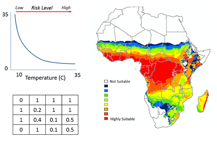
NOTE: This reading is available through the Penn State Library’s e-reserves. You may access these files directly through the library Resources link in Canvas. Once you click on the Library Resources tab, you will select the link titled “E-Reserves for GEOG 586 - Geographical Information Analysis." A list of available materials for this course will be displayed. Select the appropriate file from the list to complete the reading assignment. The required course text does not cover all the material we need, so there is some information in the commentaries for this lesson that is not covered at all in the textbook reading assignments. In particular, read carefully the online information for this lesson on "Selection and Classification" and "Overlay." After you've completed the reading, get back online and supplement your reading from the commentary material, then test your knowledge with the self-test quiz in the L8 Canvas module. There are two additional readings included in this lesson. Registered students can access them via the L8 Canvas module. 1. Skim the paper A Climate-based Distribution Model of Malaria Transmission in Sub-Saharan Africa by Craig, Snow, and leSueur (1999) to see how MCDA and in particular fuzzy logic was used in IDRISI to create one of the first continental malaria maps. 2. Read Raines, G.L., Sawatzky, D.L. and Bonham-Carter, G.F. (2010) Incorporating Expert Knowledge: New fuzzy logic tools in ArcGIS 10. ArcUser Spring 2010: 8-13 |
| 3 | Discussion Forum Post | Contribute your thoughts to the 'Discussion - Lesson 8' forum, responding to the question: "Map overlay and map algebra: the same or different?" |
| 4 | Term Project | Continue to work on Term Project. |
| 5 | Lesson 8 Deliverables |
|
Questions?
Please use the 'Discussion - Lesson 8' forum to ask for clarification on any of these concepts and ideas. Hopefully, some of your classmates will be able to help with answering your questions, and I will also provide further commentary where appropriate.