Enterprise Systems
Enterprise system define how software, data, technology and people use workflows within a design context. Enterprise systems can be a set of technologies that communicate across a cloud/server or a set of technologies/designs in which multiple people in a team work together to import, extract, and analyze data.
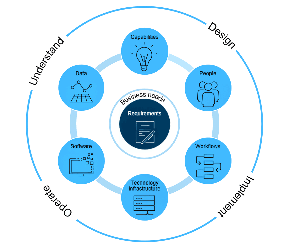
Figure 1 below shows the interconnected system in which the technology, software, data, and others communicate in a well-functioning enterprise system. You will also see this image in the “The Systems Approach to ArcGIS: An Introduction” technology lesson.
Enterprise systems can function in a variety of ways including local or federal government, mobile application solutions, and data hubs. Local and federal government projects rely on enterprise systems to allow multiple technologies and people are communicating. Similarly, single mobile apps (for example Survey 123) communicates with the ESRI ArcGIS Online enterprise systems to store, transfer, and analyze data. Finally, data hubs require cloud servers, which are themselves usually an interconnected system that allows for the upload, download, and storage of data.