Technology: Deep Learning
This week, and the remaining modules, will focus on geospatial technology “trends” or current new and developing technologies. One of the most discussed current geospatial field is GeoAI, which of course encompasses many different tools, methods, models, datasets, and more. However, one well known GeoAI method is Deep Learning, which at the most basic, uses 1000s of images to “train” a model to automate the detection of an object. Deep learning has been used in a variety of disciplines and continues to be implemented in new and innovative ways.
Deep learning has been used to detect graffiti on building facades using street view images, extracted from OpenStreetMap, which can then be used to automatically classify and identify buildings in need of repair. For example, in the screenshot extracted from Novack et al, 2020 below, graffiti has automatically been converted to a ranked discrete shapefile.

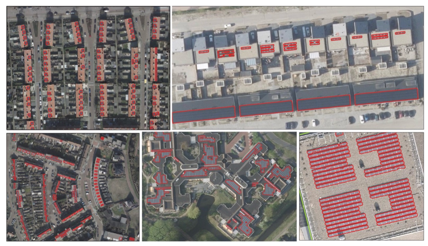
Although many examples exist, deep learning has also been used to automate detection of solar panel installations, which are automatically digitized and converted to discrete file systems for sharing and analysis.