
In this lesson, we will focus on how geospatial perspectives and technology are used in response to emergency situations. Geospatial analysis has tremendous potential for aiding disaster response, but as you will learn, it is not easy to quickly translate geospatial data into actionable information when lives are at stake. Responders need to know where to go and how to get there, and emergency managers need to understand and react to a changing situational picture.
CC BY-NC-SA 4.0
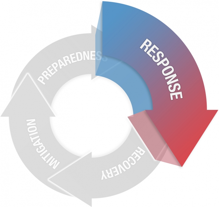
Response
Actions taken immediately before, during and after an event to alleviate suffering and prepare for recovery
- Establish Situational Awareness
- Evacuations and Shelters
- Respond to remaining hazard
- Search and Rescue
- Mass Care
- Logistics response
- Initiate Recovery
What You Will Learn
By the successful completion of this lesson, you should be able to:
- identify the roles that geospatial approaches and technologies can play in disaster response;
- discuss some of the issues that geospatial analysis systems must overcome in response situations with your colleagues;
- understand the implications of real-time mapping and spatial analytics;
- create real-time mapping and spatial analytics dashboards.
What You Will Do
Lesson 5 is one week in length. To finish this lesson, you must complete the activities listed below.
| To Read |
|
|---|---|
| To Do |
|
Please refer to the Course Calendar for specific due dates.
Questions?
If you have questions about the content or lesson activities, please post them to the General Questions and Discussion forum in Canvas. While you are there, feel free to post your own responses if you, too, are able to help a classmate. If your question is of a personal nature, please email me directly through Canvas.