Not to be confused with open software, open specifications are documented and mutually agreed-upon patterns of how software and digital data should behave in order to be interoperable between systems. For example, HTTP (hypertext transfer protocol) is based on a specification defining how web servers and web browsers should communicate in order to exchange information. Without open specifications, you would not be reading this web page.
How are open specifications used in web mapping?
In this course, we'll learn about two types of open specifications:
- Open data formats – Most GIS data formats are open in the sense that the way they are constructed is fully documented, and various GIS programs can read and write them. Also, the inventors of these formats have not asserted the right to any royalties when you use them.
KML and GeoJSON are some examples of GIS data formats that you can create just by writing a text document in a particular way. Most raster formats such as JPEG or PNG are also open. The shapefile is one of the most common formats for exchanging vector GIS data, because Esri has openly documented how to create a shapefile and relinquished any legal restrictions on creating shapefiles. In contrast, an example of a closed data format is the Esri file geodatabase, because Esri has not openly documented how to create a file geodatabase without using Esri tools. - Open specifications for web map services – There have been several efforts to openly document patterns that GIS web services should use when communicating with clients. The Open Geospatial Consortium (OGC) has created several of these specifications, the most popular of which is the Web Map Service (WMS). The USA weather radar service you accessed earlier in this lesson was an example of a WMS. You will learn more about the various OGC specifications later in this course.
In a document called the GeoServices REST Specification, Esri has also openly documented the form of communication used by geospatial web services in its products such as ArcGIS Enterprise and ArcGIS Online. This means that non-Esri developers are free to build applications that read or serve web services according to this pattern. Although the GeoServices REST Specification was not adopted by the OGC (a long story covered in a later lesson), it is an example of a specification that has been voluntarily made open by a proprietary software vendor.
The role of open data
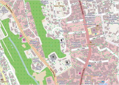
In this course, we'll also be using open data, which is data that has been made available to the public free of charge and bereft of most copyright restrictions. These data may be shared by government entities, researchers, not-for-profit organizations, or ordinary citizens contributing to online projects. For example, Data.gov is a popular website offering datasets collected by the US government. And, later in this course, we'll learn about one significant source of open GIS data called OpenStreetMap. This is an online map consisting of voluntary contributions in the style of Wikipedia.
Open datasets are often rich and exciting to include in web maps, but there are some precautionary measures you should follow in order to be successful with using them. First, be aware that even though the data is free, you are often still required to provide attribution describing where you obtained the data. You may also be restricted from redistributing the data in any way that requires a fee. When you use an open dataset, you are responsible to carefully research and adhere to any attribution requirements. You should also make an effort to verify the data quality by examining any accompanying metadata, researching the sources and collection methods of the data, and scrutinizing the data itself.