2.2 Workflows for 3D Model Construction
Overview
Creating 3D models of buildings, artifacts, and cities enable potentially better decision making, education, and planning in many fields such as archeology, architecture, urban sciences, and geography. Creating virtual cities, for example, allows for presenting scenarios of future development plans with more realism to assess their feasibility and plan their implementation. There are informational values in creating virtual cities including better communication with non-technical audiences that is, the community. Additionally, there are new approaches in 3D analysis, for instance, dealing with views, shadows, the reflected heat of building blocks, and the calculation of hours of sunshine.
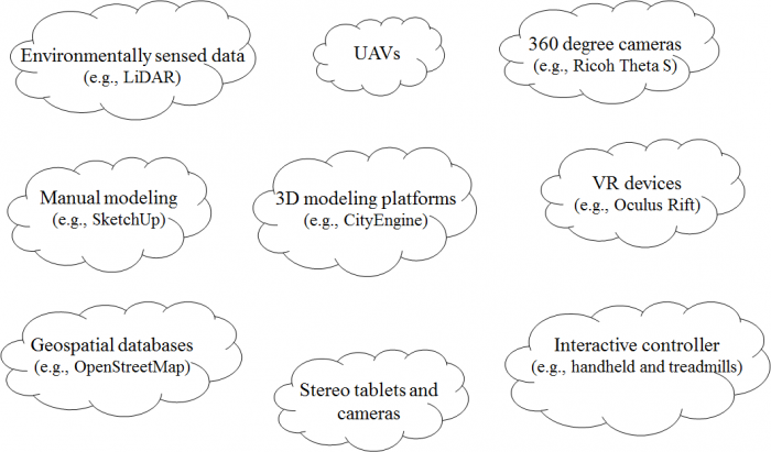
3D modeling is the process of digitally representing the 3D surface of an object. However, the model is usually rendered to be displayed as a 2D image on a computer screen. Experiencing the model in 3D can be achieved using 3D printing devices or presenting it in a virtual reality (VR) environment. There are different methods of 3D model construction and methods of accessing them. Figure 2.2.1 provides an overview of a couple of options for both creating and accessing 3D models that we will discuss in more detail later in this lesson. Many of the tools that are shown in the figure will be introduced throughout the course while others are challenging to work within an online environment.

The Figure above just name a couple of examples for efficiently collecting and accessing 3D data and information. A booming market for 3D technologies such as photogrammetry, 360-degree cameras, scanning tablets, but also the efficient use of existing data such as Open Street Map, have made content creation for 3D environments accessible to a wide audience. At the same time, VR technology is going mainstream with international companies such as Facebook™ or HTC™ weeding out roadblocks such as cyber/motion sickness.