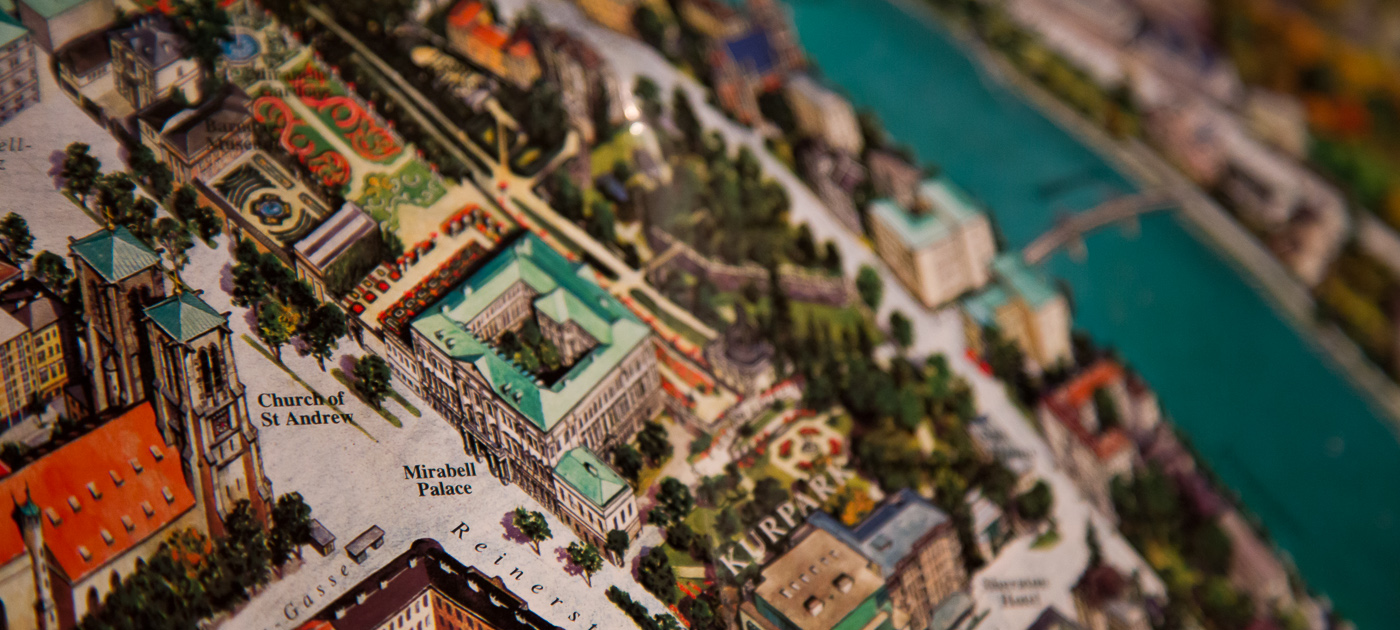
Making Great Maps
In this Lesson I want you to understand some of the essentials of Cartography – the art and science of making maps. We Cartographers are an eccentric lot, caught between several really distinct priorities. Every map has an audience, a target format, and a specific purpose. There isn’t a single “right” map for a given problem situation. Maps are not the objective truth, but they offer enormous help for us to understand the world. By default, they are simplifications of reality because we can’t show all of the infinite detail that makes up what exists on Earth (or elsewhere if you’re mapping planets, genomes, whatever). This simplification actually helps us make decisions, identify patterns, or realize where we made a wrong turn on the way to buy a bucket of chicken. Quite often maps are intended to tell a story, or at least to serve as the context for a story to take place. Maps are like snowflakes or children; they can’t be easily compared on objective metrics, and only some of them are truly good looking.
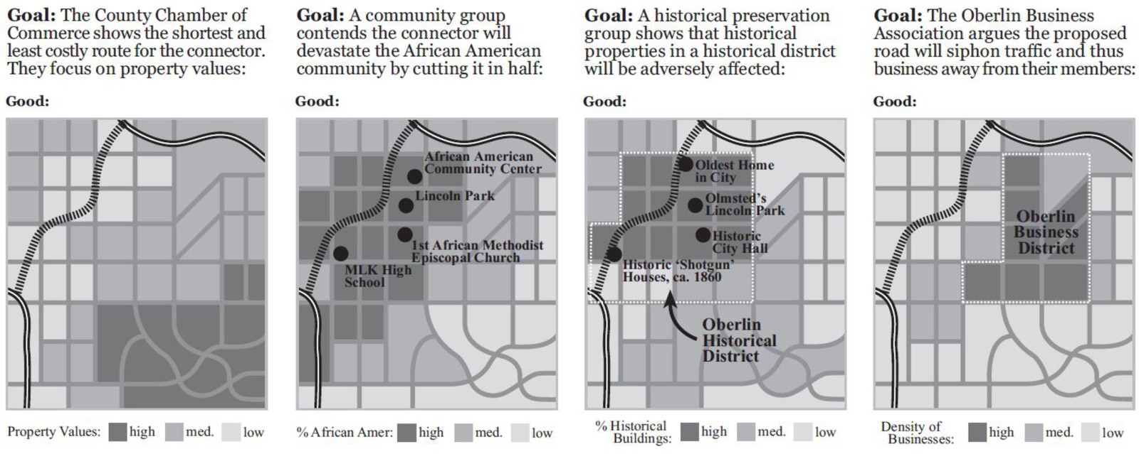
Maps are products of a design process. There are lots of decisions to be made, and every design decision influences the final outcome. To be a Cartographer, you have to understand and accept the responsibility that comes along with making those design decisions. Depending on what I want you to think, I can design my map accordingly to try and sway you. What you choose to include, how you symbolize features, how you show data patterns through analysis, and even the colors you assign to things all have a huge impact on how people will interpret a map. John Krygier and Denis Wood’s book called Making Maps: A Visual Guide to Map Design for GIS has some great examples of how maps can use different representations of the same underlying data to tell very different stories:
Who Wants A Map? Where Will It Be Seen? What Is Its Purpose?
These are the three key questions you have to answer when approaching a map design task. Failure to adequately think through any of these three areas will result in great shame to you and your family. I like to start by thinking about the proposed audience for whatever I’m designing. Who are the people who will look at this map? Is it a group of ten experts, or 40,000 anxious parents who are wondering if schools are closed today due to a 6 micron layer of snow outside? In the case of this class, I’m designing maps to work for thousands of map readers, most of whom I will know very little about aside from the fact that they thought this class would be cool to take. Since I know that my Grandpa, my Mom, and most of my friends are taking this class, I at least have some sense of the range of users I need to design my maps to serve.
After you determine who your map should be serving, you need to consider the place where it’ll be seen. Are you making something to print and take on a canoe trip through a fly-infested backwater? Are you planning on showing off your mad iPad skillz by making a fancy digital slippy map? Perhaps you want to make a digital map that’s not interactive like I’ve done in lots of examples for this course. Maybe you need to design something that’ll work in digital formats and printed formats, including black and white. We’re working on lab assignments in this MOOC that only focus on designing interactive digital maps. If you took a Cartography class with me or any of my fellow academic cartographers around the world, you’d gain experience with all of these other mapping formats as well. Each one has its own constraints, naturally. The design I make to work for black and white prints would be totally different from one that has to be legible and work with interactive tools on your cell phone.
Finally, the third, and potentially most important question you need to answer pertains to the purpose of your map. Simply put, what story are you trying to tell (Thematic Mapping)? Or are you just trying to provide the context for other stories to take place (Reference Mapping)? Everything you do to design your map should correspond to the purpose you’re trying to serve. Maybe I need to design a digital interactive map for college students to easily find the nearest place selling cheap yoga pants. Or maybe I need to design a printed black and white map designed to help first responders instantly recognize the location of hazardous materials in a 2-mile radius of a football stadium.