Building Footprints
In CityEngine, for creating a 3D model of Penn State campus, the first step is to insert a DEM. Having a DEM defines the coordinate system and the ground elevation base for locating building footprints and streets. To estimate campus building heights, a digital surface model is created. Based on the normalized DSM layer, the minimum and maximum heights of every point are extracted. Extracting the roof shape and finding the mean of elevation of points within each roof section, the mean of elevation for every part of buildings is calculated (Figure below). All this preparation is done in ArcGIS Desktop to prepare the base shapefile to be imported to CityEngine.
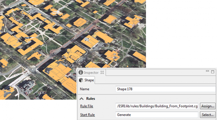
Every single object of the building footprints imported to CityEngine will be considered as one shape or Lot. By clicking on any part of the building footprints, a shape will be selected and you can see the shape number in the inspector menu in the following figure. Each shape has many attributes for each section of buildings such as the mean of height and roof types.
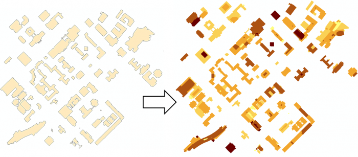
The figure below shows the extrusion rule assigned to the shapes based on the height values in the attribute table.
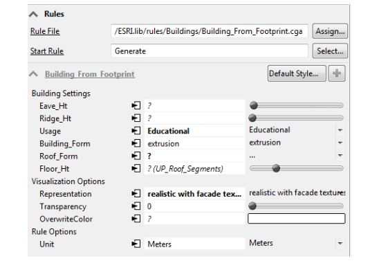
In the following figure, you can see rule parameters in the building settings that can be overwritten base on layer attributes.