Print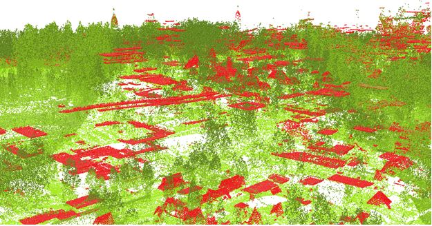
4.3 Introduction to Procedural Modeling for UP Campus
Introduction
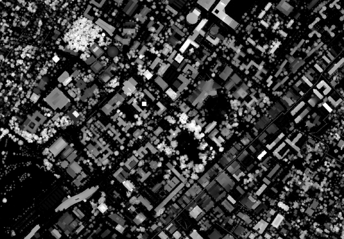
Airborne LiDAR data provides information on variable elevations. This elevation information is useful in both creating the DEM (digital elevation model) and estimating buildings’ height. The airborne LiDAR data collected for Penn State campus is in 25 cm intervals. You can see the Campus LiDAR point clouds of buildings and vegetation in the Figure below. All noises and irrelevant categories are removed for presentation purpose.
3D presentation of LiDAR data, University Park Campus in ArcGIS.
Credit: ChoroPhronesis Lab (Data collected by the Office of Physical Plant)
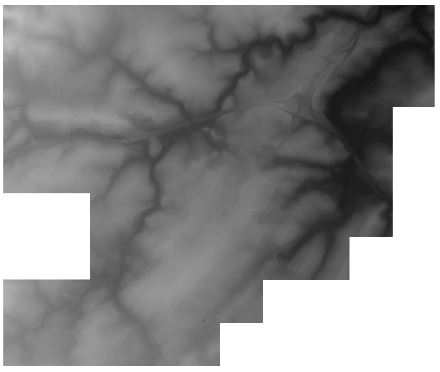
LiDAR returns information for two types of elevation models: (1) DSM or digital surface model (Figure below) which is a first return surface including anything above the ground such as buildings and canopy. (2) Topography: the ground or bare earth which is referred to as DEM (digital elevation model).