
An Overview of Lesson 7
The error, accuracy, and precision of the GIS data we use in projects are often overlooked when we download data from various government, open source, and commercial sources. Metadata is data about data. We'll explore these topics in more detail in this lesson.
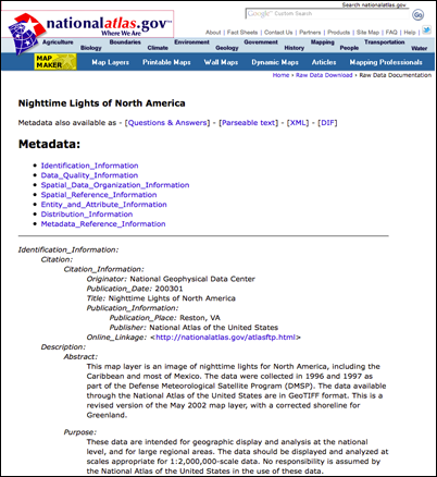
Figure 7.1: Screen capture showing metadata from the National Atlas website
Credit: National Atlas
What will we learn in Lesson 7?
By the end of this lesson, you should be able to:
- explain the requirements for meeting horizontal accuracy;
- apply the accuracy standards for different horizontal scales;
- identify sources of imprecision and error; and
- find and evaluate metadata.
What is due for Lesson 7?
This lesson will take us one week to complete. Please refer to the Calendar for specific time frames and due dates. Specific directions for the assignments below can be found in this lesson.
- Lesson 7 Quiz
- Metadata Activity
- Complete the Esri training course "Editing Basics in ArcGIS Pro"
- Download the following files titled "SAMPLE_ROUTING_PROJECT.zip", "Geography 469 Term Project_Rev_11132018_RAS.docx", "EPRI_GTC_OETL_SITING_METHODOLOGY.pdf", and "Glasgow_White_Paper.pdf" to your Desktop
- Two extra credit opportunities
- Take the anonymous, ungraded mid-course survey
Questions?
If you have any questions, please post them to our Questions? discussion forum. I will check that discussion forum daily to respond. While you are there, feel free to post your own responses if you, too, are able to help out a classmate.