
An Overview of Lesson 9
This lesson will introduce you to the term project and the siting criteria we will use for the project. The project will use what you have learned in the two Esri courses and apply that knowledge to siting a transmission line, using GIS.
Utilities have historically sited transmission lines through a process of selecting transmission line corridors, narrowing the corridors to an optimum corridor, and then selecting the most appropriate route through the corridor for the new transmission line. This process has evolved from a subjective, table-top exercise in the early days of siting, to a more transparent, objective analysis using GIS. The utility industry recognized the need to make the process more efficient and objective because of growing siting difficulties created by increased costs to site and build transmissions lines, increased regulatory oversight, and mounting opposition from the people and communities these new lines would pass by or through.
What will we learn in Lesson 9?
In this lesson, you will utilize the knowledge you have gained so far to begin a final project. The end result of the project will be a presentation explaining your best-selected route for a proposed transmission line.
By the end of this lesson, and using Sample GIS data, students will be able to do the following:
- apply EPRI-GTC Overhead Electric Transmission Line Siting Methodology to a real-life scenario;
- describe how the EPRI-GTC process categorizes evaluation criteria into three general categories: Natural, Built, and Engineering Environments;
- generate a base map from ArcGIS Pro;
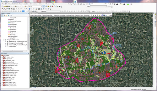
- conduct a siting analysis, using ArcGIS Pro, to determine the most appropriate location for a transmission line;
- evaluate route statistics and determine the siting route;
- explain the complexity of selecting the most appropriate siting route.
What is due for Lesson 9?
This lesson will take us one week to complete. Please refer to the Calendar for specific time frames and due dates. Specific directions for the assignment below can be found in this lesson.
- Lesson 9 Quiz
- Term Project Background Document
- Run a model using sample GIS data (this should take you between 3 and 4 hours to complete and should be done in one sitting). Please plan your time accordingly.
- Create a background document to be included in the final project. (this will require 1-3 hours of writing).
Questions?
If you have any questions, please post them to our Questions? discussion forum. I will check that discussion forum daily to respond. While you are there, feel free to post your own responses if you, too, are able to help out a classmate.