GEOG 497
3D Modeling and Virtual Reality

A. Reality Modeling

Print

A. Reality Modeling

Reality models provide real-world context using aerial imagery and/or photographs. Technologies like 3D imaging and photogrammetry with the use of UAVs (unmanned aerial vehicle) provide these images to be used in software for converting a 2D map to a 3D model. Examples of software for this approach are ContextCapture by Bentley and VUE, PlantFactory, Ozon, Drone2Map by ESRI, or CarbonScatter by E-on.

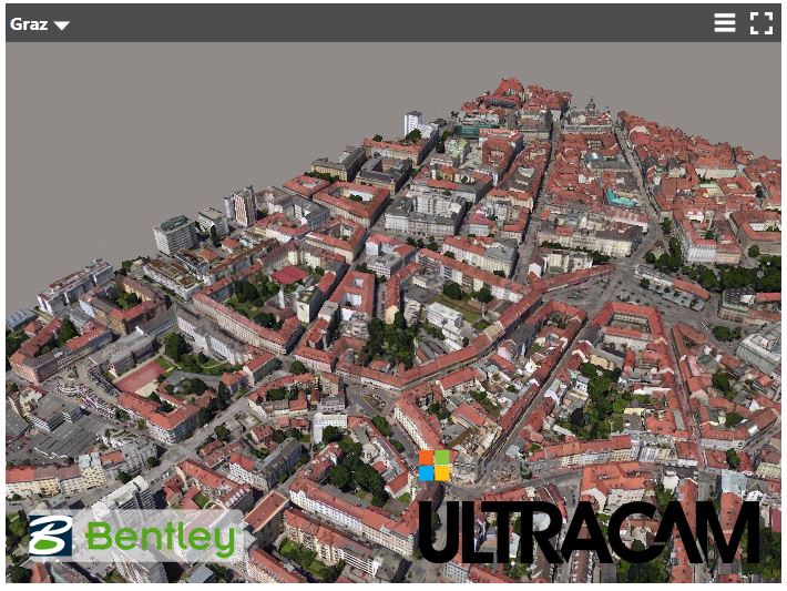
Screenshot 3D model of city of Graz
Figure: 3D model city of Graz using aerial imagery captured by Microsoft Ultracam and modeled by Bentley's ContextCapture.
Credit: Bentley
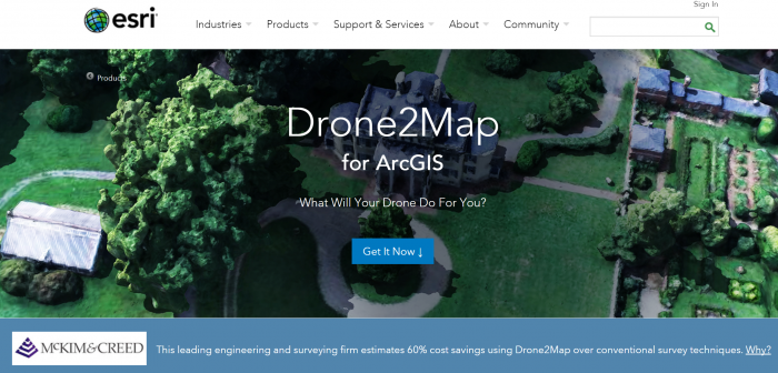
Screenshot Drone2Map
Figure: ESRI Drone 2 Map
Credit: ESRI
Screenshot e-on software
Figure: E-on software
Credit: E-on

LumenRT, for example, is an E-on software licensed by Bentley. It can create real-time immersive experiences. It presents a combination of tools that create ultra-high-definition videos and photographic images for 3D projects.

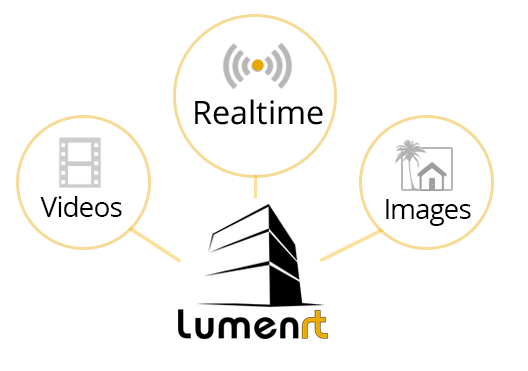
Screenshot lumenrt icons: videos, realtime, images)
Figure: LumenRT
Credit: LumenRT

One of the methods for creating 3D structures from 2D images is structure from motion (SFM) photogrammetry. There are several software packages for creating and reconstructing three-dimensional structures: Agisoft, VisualSFM, CMPMVS, Meshlab, and Blender. For instance, Aibotix GmbH has created a 3D model of Castle Spangenberg in Germany using a combined mapping workflow. Data was collected with multirotor UAV Aibot X6 and ground surveying equipment. The collected data was then processed with the help of Agisoft PhotoScan.

Video: Drone surveying of Castle Spangenberg with the UAV Aibot X6 (2:07) This is video is not narrated, music only.