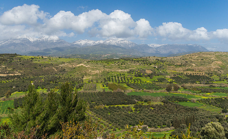
When you think of the word ‘landscape,’ what is the first thing that comes to mind? For many of you, it might be something like this:
is licensed under CC0 1.0 Universal Public Domain Dedication
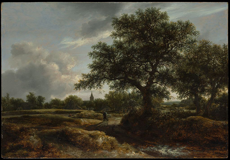
For others, it might be something like this:
(Public Domain)
Although these two images are separated by over three centuries and thousands of miles, and were created using vastly different technologies, they both fall into the category of landscape imagery. Both images represent some view of Earth’s surface as seen from some other point on the surface (as opposed to the birds-eye view we would get from a balloon, airplane, or satellite). Furthermore, as innocuous as they seem, both of these images reveal important and useful information about the cultural and economic practices of the places they represent. Or, in more technical language, these images communicate something about the cultural landscape.
We can think of landscape simply as a visible portion of Earth’s surface. We can further divide it conceptually between natural landscapes and cultural landscapes. Natural landscapes are simply landscapes as they exist without the intervention of human activity. By contrast, cultural landscapes are landscapes that have been shaped by human activity; you might also hear cultural landscapes referred to as the built environment.
While our instinctive ideas about landscape as an idyllic and picturesque scene that brings pleasure to the viewer is accurate within an art historical framework, within geography, cultural landscapes get at some of the messy interactions of everyday life. Cultural landscapes include more than scenes of rolling pasturelands, tranquil villages, and lush valleys protected by looming mountains and dominated by greenery. They also consist of things like street plans, monuments, architecture, and shops — and all manner of infrastructure such as sidewalks, streetlamps, traffic signs, and telephone poles.
Over the rest of this lesson we will quickly see that landscape is not just a nice view, but a nuanced aspect of our geography that can provide clues as to what is happening in a given place.