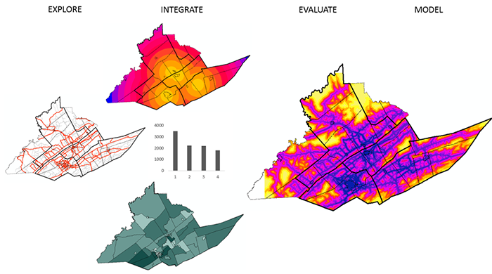
The analytical power of any GIS system lies in its ability to integrate, transform, analyze, and model data using simple to complex mathematical functions and operations. In the lesson this week, we will look at the fundamentals of surface analysis and how a flexible map algebra raster analysis environment can be used for the analysis of field data.

Learning Outcomes
At the successful completion of Lesson 7, you should be able to:
- describe data models for field data: regular grid, triangulated irregular network, closed form mathematical function, control points; and discuss how the choice of model may affect subsequent analysis;
- explain the map algebra concept and describe focal operations, local operations, and between-map operations;
- understand the idea of slope and aspect as a vector field;
- explain how slope or gradient can be determined from a grid of height values;
- describe how surface aspect may be derived from a grid of height values;
- re-express these operations as local operations in map algebra;
- describe how map algebra operations can be combined to develop complex functionality.
Checklist
Lesson 7 is one week in length. (See the Calendar in Canvas for specific due dates.) The following items must be completed by the end of the week. You may find it useful to print this page out first so that you can follow along with the directions.
| Step | Activity | Access/Directions |
|---|---|---|
| 1 | Work through Lesson 7 | You are in Lesson 7 online content now. You are on the Overview page right now. |
| 2 | Reading Assignment | You need to read the following selections:
NOTE:This reading is available through the Penn State Library’s e-reserves. You may access these files directly through the library Resources link in Canvas. Once you click on the Library Resources tab, you will select the link titled “E-Reserves for GEOG 586 - Geographical Information Analysis." A list of available materials for this course will be displayed. Select the appropriate file from the list to complete the reading assignment. The required course text does not cover all the material we need, so there is some information in the commentaries for this lesson that is not covered at all in the textbook reading assignments. In particular, read carefully the online information for this lesson on "Map Algebra" and "Terrain Analysis." After you've completed the reading, get back online and supplement your reading from the commentary material, then test your knowledge with the self-test quiz. |
| 3 | Weekly Assignment | This week, you will apply various surface analysis methods and spatial analysis functions, including more complex map algebra operations, to choose a suitable location for a new high school using ArcGIS. (The materials for Project 7 can be found on Canvas.) |
| 4 | Term Project | There is no specific output required this week, but you should be aiming to make some progress on your project this week. |
| 5 | Lesson 7 Deliverables |
|
Questions?
Please use the 'Discussion - Week 7' forum to ask for clarification on any of these concepts and ideas. Hopefully, some of your classmates will be able to help with answering your questions, and I will also provide further commentary there where appropriate.