Clearly, roads are a major factor in the difference between straight-line distance allocation of school districts and the actual school districts. In this part of the project, you will create a raster layer representing the roads of Centre County to use in a second, roads-based distance analysis.
Creating a roads raster layer using map algebra operations
- Using the Conversion Tools - To Raster - Polyline to Raster... tool, make raster layers from the majorRoads and localRoads layers. Make sure that you use the same resolution for both layers. Consider what spatial resolution might be appropriate for this analysis.
- Use the Spatial Analyst Tools - Reclass - Reclassify and Spatial Analyst Tools - Map Algebra - Raster Calculator tools to manipulate and combine these layers into a single roads layer where major road cells have value 1, minor road cells have value 2, and off-road cells have some high value (say 100).
Note:
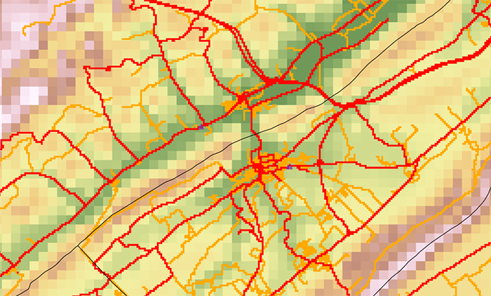
There are multiple workflows you can use to produce the end result described in Step 2 above. Whichever workflow you choose, it will require multiple steps—you will have to create intermediate layers and combine those in some way to arrive at the final result as shown in Figure 7.9. The Reclassify tool in particular is your friend here, but be careful that all cells in your intermediate outputs have a value (i.e., don’t allow cells to have a value of NODATA) or you will have problematic results when you use the Raster Calculator in subsequent steps.
The end result will look something like this (although you should consider creating a better designed map):
Deliverable
In your Project 7 write-up, describe how you created the roads raster and the resulting output. Include any maps, figures, or tables that help you to explain your workflow.