
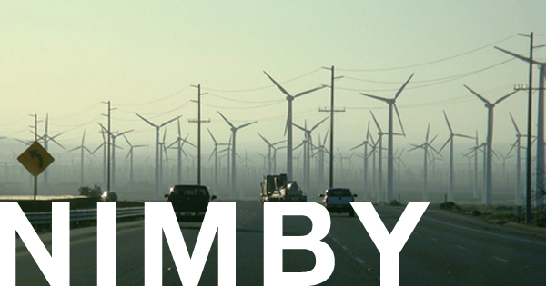
Siting new transmission lines in the United States has become a controversial issue, mainly because few property owners welcome the idea of having a transmission line built near their property or crossing it. As a result of this NIMBY ("Not in My Back Yard") concern, much of the old subjectivity of line corridor location has been removed from the process and replaced with objective, transparent corridor analysis. This objective analysis could not have come at a more appropriate time. With an aging transmission line infrastructure, an increased need to expand capacity, and the development of new conventional and alternative sources of energy, increasing pressure is being placed on utilities and regulatory agencies over siting concerns.
The primary regulatory responsibility for the siting of transmission lines resides with the individual state public utility commissions. In addition, various state and federal resource agencies review and comment on impacts to water, wetlands, wildlife and rare, threatened, and endangered species, land use, cultural and historical resources, and visibility concerns. A closer look at the link will show that not all transmission lines are covered by regulatory agencies. For example, in Pennsylvania, the Public Utility Commission only regulates transmission lines greater than 100kV. Transmission lines smaller than this are not regulated. Transmission lines proposed by the federal government, or transmission lines proposed by public and private utilities that cross state lines, cross federal and tribal lands, or impact national parks, require a detailed NEPA (National Environmental Policy Act) analysis and review by the United States Environmental Protection Agency (USEPA). As part of a utility's public outreach program, affected property owners review and comment on the proposed project during the siting process.
The process for choosing a site for the construction of electric transmission lines involves an extensive study of environmental (water, wetlands, topography, soils, geology), land use, biological, cultural, and visual resource impacts. As you learned earlier in this course, public participation is an important component of the siting process. In the sections to follow, we will be introduced to these criteria. We will discuss each of these criteria in detail and address criteria characteristics, potential impacts to these criteria, and examples of mitigation measures that can be implemented to reduce impacts on these criteria.
Here is a short (3:16) YouTube video, introducing you to the siting process used by ATC, American Transmission Company:
NARRATOR: OK, we know that almost everyone needs electricity, and that we need transmission lines to help deliver that electricity. But who decides where and when they are installed? After all, very few people really want to look at them. While that is true, many people are involved in determining where new transmission lines will go.
At American Transmission Company, we have a very inclusive process for routing and siting transmission lines that involves evaluating location options and impacts, and soliciting input from regulators, government agencies, property owners, and community members.
At the beginning of the process, transmission system planners determine the need for a project and its benefits. Then they select the endpoints for the line. Next, a broad study area is evaluated.
Within that broad study area, we first look for existing corridors where there is already an existing power line or gas pipeline. We also will look at the possibility of siting a new power line within transportation corridors, such as highways or railroads.
Existing recreational trails are also evaluated. If necessary, the last option is to establish new or cross country corridors. We then gather data on environmental sensitivities, roads, railroads, pipelines, utility corridors, and environmental areas.
We also host public open houses to invite feedback from community members. People most familiar with the potentially impacted areas provide a lot of useful insight. All of this information helps us eventually narrow down dozens of potential corridors to fewer preliminary routes, and finally, to two or more final proposed routes. This process typically takes one to two years.
Final route options offer the best solutions based on environmental and land use considerations, suitability for construction, public input, cost, and electric system needs. These proposed routes are formally presented in an application to state regulators. State regulators then evaluate if the project is needed, hold public and technical hearings, and if approved, decide where to locate the line.
State regulators may or may not select an exact route recommended by ATC. They may make some modifications based on public input or other considerations. In the end, the final route represents a balanced blend of social, environmental, and logistical considerations from agencies, the public, communities, and property owners.