Choosing a Projection
There are many factors to keep in mind when choosing a projection for your map. The number of projections available can sometimes seem overwhelming, and as there is no distortion-free map, the selection of any projection involves a trade-off between different properties.
Slocum et al. (2009) provide five suggestions for choosing a projection for a thematic map:
- The cartographer should aim to select the projection with the least distortion.
- Distortion can be kept to a minimum by aligning the location of the map with the location of the standard line(s) or point(s)—where the reference globe meets the developable surface.
- As the amount of geographic area covered by the map increases, distortion becomes more of an issue—projection selection is much less consequential with large-scale “zoomed-in” detailed maps.
- Some projections are popular and in widespread use—this does not necessarily mean they are the best choice for your map.
- Projection influences the overall look of your map design—this has been less studied and is generally less quantifiable than other factors, but it’s still important to consider.
When selecting a projection for your map, your map’s purpose and location should be at the forefront of your decision-making process. Many cartographers have proposed guidelines or tools to assist map-makers in choosing an appropriate projection.
Frederick Pearson (1984), for example, suggested simple guidelines for map projection selection based on the latitude of the area to be mapped. If the map was of an equatorial region, he suggested a cylindric projection. If it was mid-latitude, a conic projection, if it was polar, a planar projection (Pearson 1984). While this is a good starting point, it does not account for the purpose or the map, nor help the map-maker choose between the many projections that exist of each type (e.g., there are many different conic projections).
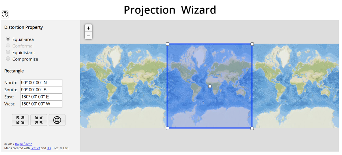
Some online tools have been developed to help in the projection selection process. One such tool is Projection Wizard, developed Bojan Šavrič (Šavrič, Jenny, and Jenny 2016). It is a web-based tool that suggests projections based on user input of only the intended distortion property (e.g., equal-area), and the location of the map (input via an adjustable map frame).
Projection Wizard is based largely on projection selection guidelines developed by John Snyder (1987), guidelines which are also discussed in detail by Slocum et al. (2009). These sources are listed in the recommended readings for this section—highly suggested if you would like to learn more about this topic.
As noted by Slocum et al. (2009), selecting an appropriate projection requires thinking not only about its objective utility, but about its overall design and what your map’s readers will think of it. Recent research has investigated user responses to map projections. Battersby and Kessler (2012) investigated novice and experienced map-readers’ strategies for comprehending distortion on maps, and found that both groups struggled to correctly specify distortion on maps. Šavrič et al. (2015) focused on user preference and found that many readers tend to favor the Robinson (and similar) projections, and that general map-readers have somewhat different preferences for map projections overall than experienced cartographers.
In addition to attending to projection guidelines and anticipating reader responses, it is often helpful simply to experiment with different projections. The following tools are good resources to explore projection properties and distortion:
- Jason Davies - Map Projection Transitions
- Projection Explorer
- Mercator Puzzle
Student Reflection
Another helpful way to learn is to create a simple map in ArcGIS and practice changing its projection—load simple boundary files (such as those provided for Lab 5) and notice how altering the projection and projection parameters changes the final design.
Recommended Reading
- Chapter 10: Selecting an Appropriate Map Projection. Slocum, Terry A., Robert B. McMaster, Fritz C. Kessler, and Hugh H. Howard. 2009. Thematic Cartography and Geovisualization. Edited by Keith C. Clarke. 3rd ed. Upper Saddle River, NJ: Pearson Prentice Hall.
- Kessler, F., &; Battersby, S. E. (2019). Working With Map Projections: A Guide to Their Selection (First ed.). Boca Raton, FL: CRC Press/Taylor & Francis Group.
- Jenny B., Šavrič B., Arnold N.D., Marston B.E., Preppernau C.A. (2017) A Guide to Selecting Map Projections for World and Hemisphere Maps. In: Lapaine M., Usery E. (eds) Choosing a Map Projection. Lecture Notes in Geoinformation and Cartography. Springer, Cham.
- Robinson A.H., The Committee on Map Projections (2017) Matching the Map Projection to the Need. In: Lapaine M., Usery E. (eds) Choosing a Map Projection. Lecture Notes in Geoinformation and Cartography. Springer, Cham.