Overview
Welcome to Lesson 6! Last lesson, we talked in-depth about map projection: the process of transforming Earth's three-dimensional surface into a form that can be depicted on a flat map. Earth's terrain poses a similar challenge - how can we depict the intricacies of Earth's surface on a two-dimensional piece of paper or computer screen? Fortunately, just as with the challenge of projections, cartographers have been designing creative solutions to this problem for many years. In this lesson, we'll learn about many techniques that exist for modeling Earth's terrain. These include both oblique and vertical map views, contour maps, and physical models. We'll also talk a bit about how different terrain layers are built-in GIS software, and the importance of balancing the visualization of terrain with other map data, such as political boundaries, roads, water features, and trails.
In Lab 6, we'll put all this together to create a trail run map for an imagined event, The Paradise Valley Trail Run. You'll generate and design terrain layers, overlay additional base and thematic data, and use your knowledge of symbol and layout design to create a map that would be helpful to runners and their supporters. Let's get started!
Learning Outcomes
By the end of this lesson, you should be able to:
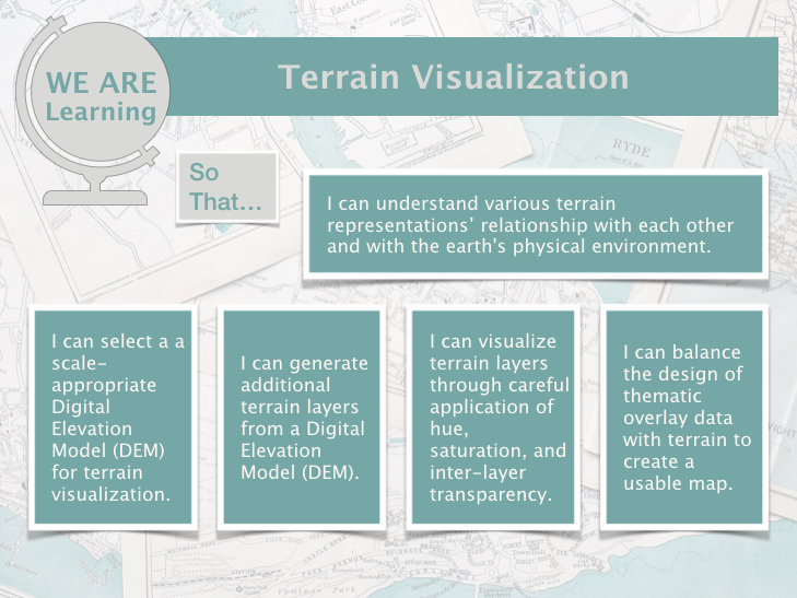
- understand various terrain representations’ relationship with each other and with the earth's physical environment;
- select a a scale-appropriate Digital Elevation Model (DEM) for terrain visualization;
- generate additional terrain layers from a Digital Elevation Model (DEM);
- visualize terrain layers through careful application of hue, saturation, and inter-layer transparency;
- balance the design of thematic overlay data with terrain to create a usable map.
Lesson Roadmap
| Action | Assignment | Directions |
|---|---|---|
| To Read |
In addition to reading all of the required materials here on the course website, before you begin working through this lesson, please read the following required readings:
Additional (recommended) readings are clearly noted throughout the lesson and can be pursued as your time and interest allow. |
This week's reading is provided in ebook form through the Penn State library system. |
| To Do |
|
|
Questions?
If you have questions, please feel free to post them to the Lesson 6 Discussion Forum. While you are there, feel free to post your own responses if you, too, are able to help a classmate.