
Estuaries
What is an estuary? How do estuaries form? What sort of processes takes place in estuaries?
Definition and Morphology of Estuaries
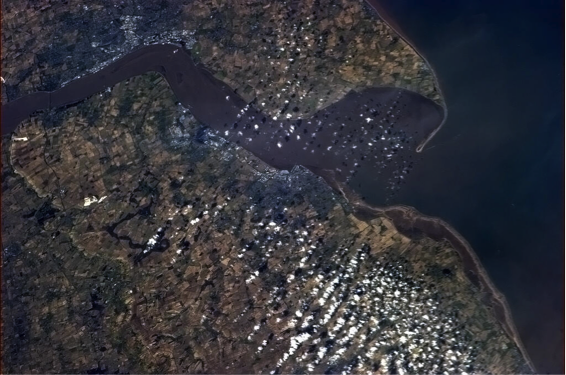
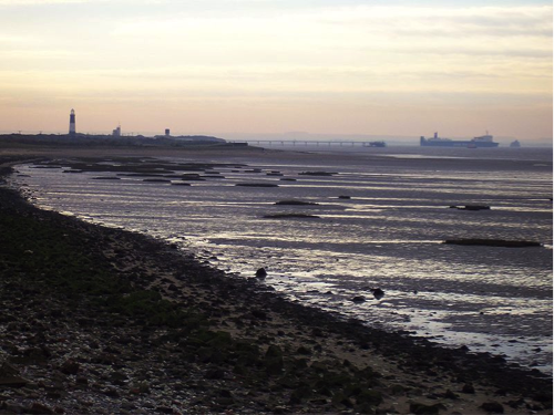
Coastal geologists define an estuary as a semi-enclosed body of water with an open connection to the ocean and one or more rivers flowing into it. They represent a transitional environment between the solid mainland and the sea and because of the inflow of rivers are partially diluted with fresh water so that they do not contain normal salinity marine water. As a transitional environment, they are influenced by marine processes, such as waves and tides, as well as river processes, such as the delivery of sediment and fresh water.
The Importance of Estuaries
Some of the world's most productive ecosystems are located within estuaries and host a wide range of organisms. In fact, many species of commercially important fish and shellfish spend part of their life cycle within estuaries before reaching maturity. They are, however, an environment that, like many other coastal environments, faces a wide range of environmental problems arising from land-use practices, dumping of sewage and other pollutants, and the introduction of excess nutrients because of poor agricultural practices.
Historically, estuaries have been classified a number of ways, including how they formed and their morphology, the circulation patterns that are present within the estuary, and the relative importance of waves and tides within an estuary. In this module, we will only be discussing estuary formation and circulation patterns of classification.