
The Water Cycle
As you probably know, the water on the planet is constantly being cycled through various states, such as water vapor in the atmosphere, liquid water in oceans, rivers, and groundwater, and ice in ice sheets and glaciers. This cycling happens at different rates, from rapidly (measured in days) to very slowly (measured in thousands of years or more).
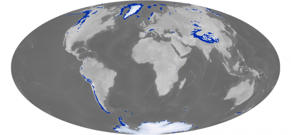
Whether due to climate factors, or plate tectonic factors, water evaporated from the oceans can become locked up on land and prevented from cycling back to the ocean. The USGS estimates that some 8,500,000 cubic miles of water is trapped on land either as ice or as freshwater. When and if this water makes its way back to the ocean (and if it is not replaced on land), sea levels can rise significantly. The Greenland Ice sheet, if melted, is estimated by Byrd Polar Research Center and other scientists to produce a rise of between 6 and 7.4 meters to global sea level if it is not restored on land.
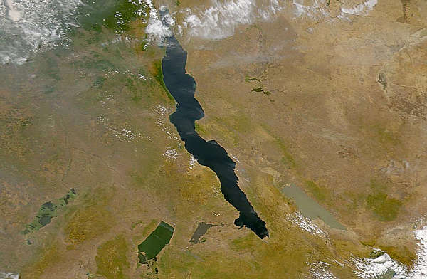
Rift lakes or large intra-continental seaways can trap liquid water that is temporarily removed from the global ocean (an excellent example is Lake Bonneville - the ancestral Great Salt Lake of the western U.S.). If precipitation of ocean-derived water is high on land, and this water is not able to return to the ocean, ocean water levels can drop over time.
Continental aquifers will often hold volumes of water in the subsurface. As these aquifers are de-watered (pumped), the water is released back into the hydrologic system and can be returned to the ocean. Some areas in large desert regions (e.g., in Arizona, Nevada, California, etc.) have withdrawn substantial amounts of water from aquifers. This water is not replaced, ground subsidence occurs, and the aquifer becomes compacted. The withdrawn water is eventually lost to evaporation and ends up back in the ocean.
Glaciers also trap and hold water in solid form. When ocean-derived moisture freezes and is held on land from year to year, they stockpile large volumes of water, and ocean levels can drop.
Two main types of glaciers include alpine and continental glaciers.
- Continental glaciers or ice sheets similar to those on Greenland, Iceland, or Antarctica have been more widespread at times in Earth's history and trapped large volumes of water on land, so much so that continental areas subsided under the great thicknesses of ice built on top of them.
- Large numbers of alpine glaciers at high altitudes (e.g., Andes, Alps, Himalaya, Cascades, Rockies, etc.) collectively contain significant volumes of water that can also be released back to the global ocean if melted.