
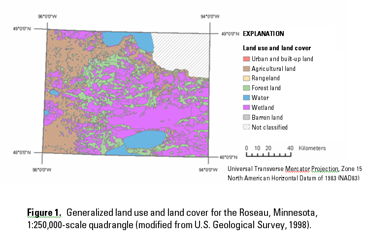
The map above depicts some of the 21 categories of land use and land cover (LULC) used by the United States Geological Survey. These LULC categories may be used at the state, regional, or local levels. This land use and land cover data was derived from 1970s and 1980s aerial photography.
Why we need it
Land Use and Land Cover (LULC) designations provide general descriptions of the natural and cultural activities taking place within a project area. LULC designations provide the siting planners with information on what type of land use may be in the proposed transmission right-of-way. This information assists the planners in route selection. By comparing current land-use patterns with historic land use patterns, and combining this information with aerial photography, the planners can identify preferred and alternate routes for the transmission lines. Prior to GIS, planners had to manually evaluate this data and the results were subjective. These individual layers of data can be combined easily in GIS and spatially analyzed to arrive at a better understanding of how LULC will impact a proposed transmission line without the uncertainty of manual analysis.
Where to find it
- The most accurate LULC data is digitized from current aerial imagery available from most state or local government GIS clearinghouses (see the section "Individual State, County and Municipal GIS Data"). It is also available from the National Map, but this data has not been updated since the 1980s because of funding issues.
- An article titled "6 Best Sources for Local Land Use/Land Cover GIS Data" from the Plannovation Blog can help you with your search for LULC data.
Tell us about it!
Do you have a suggestion or two for additional data sources? Do you know of any international sources? Use the Discussion Forum to share your suggestions with the class!