Motivate...
By this point in the course, you've already encountered many different weather observations (temperature dew point, wind, etc.). But, most of the observations we've learned about so far have something in common: they're collected by a sensor in direct contact with the medium being measured. For example, a standard thermometer measures temperature by being in contact with the air it's measuring. Obviously, such measurements aren't possible over the entire breadth and depth of the atmosphere. We can't have weather stations covering every single point on Earth (although some meteorologists might have dreams about such things)!
To help fill the many gaps between our direct measurements, we need to be able to measure the atmosphere from afar, or "remotely." So-called "remote sensing" is just that -- taking a measurement without having a sensor in direct contact with the medium being measured. If this idea sounds odd, keep in mind that humans have very sophisticated remote sensors on their bodies. It's true! Consider human eyes: they allow humans to observe and measure things from great distances by "seeing" wavelengths over a relatively large band of the electromagnetic spectrum (which is something that most remote sensors can't do).
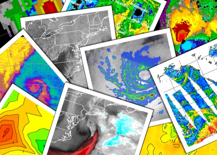
So, what types of remote sensing instruments do meteorologists use? I'm sure that you are very familiar with satellite and radar images available online and shown on TV weathercasts. These are two very important types of remote sensing observations, and we will discuss how they're created and how to interpret them in this lesson. In addition to common radar and satellite images, many more types of remote sensing data exist, which measure a vast array of atmospheric properties. Although many of these data lie beyond the scope of this course, they all have something in common: All remote sensing data is based on measurements of electromagnetic radiation.
You already know quite a bit about the behavior of electromagnetic radiation (remember the "four laws of radiation" from earlier in the course?), and knowing how radiation behaves helps meteorologists understand the creation and interpretation of remote sensing data. One of the most important things to keep in mind when using remote sensing data is that no perfect, one-size-fits-all, remote sensors exist. Again, think about human eyes. Although they can see in the visible spectrum, they cannot see in the infrared spectrum. Remote sensing instruments are typically designed to measure a specific thing, and can't measure other things beyond their capabilities.
Other limitations stem from the fact that what the sensor "sees" is often not actually what's happening or what we're interested in measuring. The measurements taken by remote sensors must be interpreted or converted into the observation that you really desire, but to make this conversion, we have to make assumptions. Optical illusions are a good example of this idea. Why does this optical illusion involving forced perspective work? Our eyes play "tricks" on us because we make certain assumptions about how light travels to our eyes, and those assumptions are hard to break, even though our brain says, "Hey, that can't be happening!" Interpreting other types of remote sensing data requires assumptions, too. Sometimes those assumptions are perfectly appropriate and sometimes they're not. But, anyone looking at remote sensing data needs to know the limitations so that they can draw the correct conclusions!
We'll focus a lot on satellite and radar images in this lesson because they're so common, and I hope that by the end of the lesson, you really understand what you're looking at when you see such imagery online or on TV. To get started, though, we need to talk a little bit more about remote sensing (and where remote sensing data comes from), and contrast it with more direct measurements. Let's get started!