In contrast to remote sensing satellites that orbit the earth at altitudes of hundreds of kilometers (often upwards of 50 miles), “aerial imaging” refers to remote sensing from aircraft that typically fly 20,000 feet “above mean terrain.” For applications in which maximum spatial and temporal resolutions are needed, aerial imaging still has its advantages.
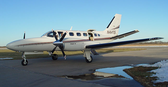
Aircraft platforms range from small, slow, and low flying, to twin-engine turboprops (like the one shown below) even and small jets capable of flying at altitudes up to 35,000 feet.
In chapter 6, you learned (or perhaps you already knew) that the U.S. National Agricultural Imagery Program (NAIP) flies aerial imaging missions over much of the lower 48 states every year. Just as digital cameras have replaced film cameras for most of us on the ground, digital sensors have all but replaced cameras for aerial surveys like NAIP. One reason for this transition is improved spatial resolution. Whereas the spatial resolution of a high-resolution aerial photograph was about 30-50 cm, the resolution that can be achieved by modern digital aerial imaging systems is great as 3 cm GSD. Another reason is that digital instruments can simultaneously capture imagery in multiple bands of the electromagnetic spectrum.
One example of a digital camera that’s widely used for mapping is the Leica DMC series, which provide four-band imagery at ground resolutions from 3cm to 80 cm GSD. Sophisticated instruments like this can cost more than the aircraft that carry them.
Unmanned Aerial Vehicles
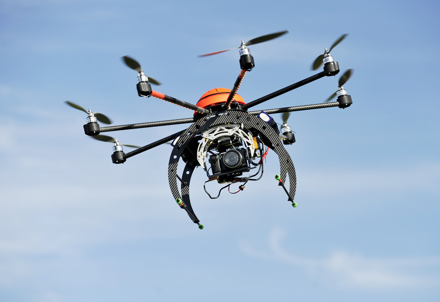
UAVs (or, more generally, Unmanned Aerial Systems - UAS) are tantalizing platforms for aerial imaging. Unlike aircraft, UAVs are affordable to end users. So, one benefit to users is autonomy - the ability to collect one’s own imagery on one’s own timetable. And even equipped with relatively inexpensive imaging instruments, UAVs can deliver high-quality imagery because they fly at such low altitudes (typically around 400 feet). An important disadvantage is that the use of UAVs for civilian mapping is restricted in the U.S. by the Federal Aviation Administration. Still, interest in UAVs for mapping is so keen that xyHt magazine dubbed 2014 the “Year of the UAS.” Penn State’s Online Geospatial Education program offers an elective course called “Geospatial Applications of Unmanned Aerial Systems."