Remote sensing systems commonly work in much the same way as the digital scanner you may have attached to your personal computer. Scanners like the one pictured below create a digital image of an object by recording, pixel by pixel, the intensity of light reflected from the object. The component that measures reflectance is called the scan head, which consists of a row of tiny sensors that convert light to electrical charges. Color scanners may have three light sources and three sets of sensors, one each for the blue, green, and red wavelengths of visible light. When you push a button to scan a document, the scan head is propelled rapidly across the image, one small step at a time, recording new rows of electrical signals as it goes. Remotely sensed data, like the images produced by your desktop scanner, consist of reflectance values arrayed in rows and columns that make up raster grids.
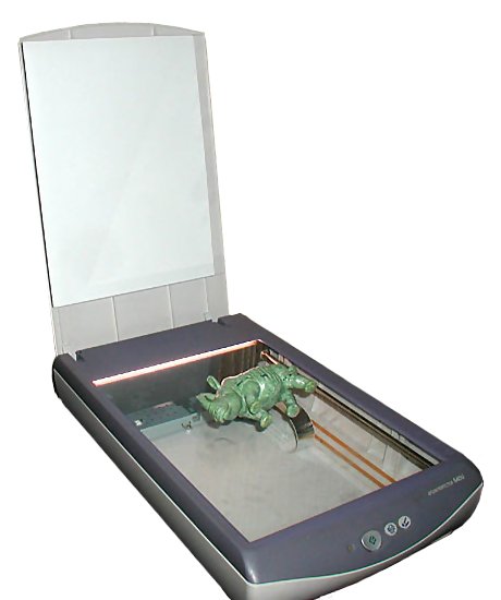
After the scan head converts reflectances to electrical signals, another component, called the analog-to-digital converter, converts the electrical charges into digital values. Although reflectances may vary from 0 percent to 100 percent, digital values typically range from 0 to 255. This is because digital values are stored as units of memory called bits. One bit represents a single binary integer, 1 or 0. The more bits of data that are stored for each pixel, the more precisely reflectances can be represented in a scanned image. The number of bits stored for each pixel is called the bit depth of an image. An 8-bit image is able to represent 28 (256) unique reflectance values. A color desktop scanner may produce 24-bit images in which 8 bits of data are stored for each of the blue, green, and red wavelengths of visible light.
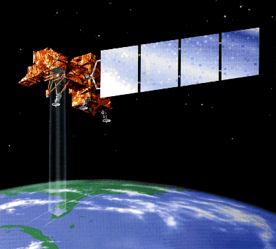
As you might imagine, scanning the surface of the Earth is considerably more complicated than scanning a paper document with a desktop scanner. Unlike the document, the Earth's surface is too large to be scanned all at once, and so must be scanned piece by piece, and mosaicked together later. Documents are flat, but the Earth's shape is curved and complex. Documents lie still while they are being scanned, but the Earth rotates continuously around its axis at a rate of over 1,600 kilometers per hour. In the desktop scanner, the scan head and the document are separated only by a plate of glass; satellite-based sensing systems may be hundreds or thousands of kilometers distant from their targets, separated by an atmosphere that is nowhere near as transparent as glass. And while a document in a desktop scanner is illuminated uniformly and consistently, the amount of solar energy reflected or emitted from the Earth's surface varies with latitude, the time of year, and even the time of day. All of these complexities combine to yield data with geometric and radiometric distortions that must be corrected before the data are used for analysis. Later in this chapter, we'll discuss some of the image processing techniques that are used to correct remotely sensed image data.