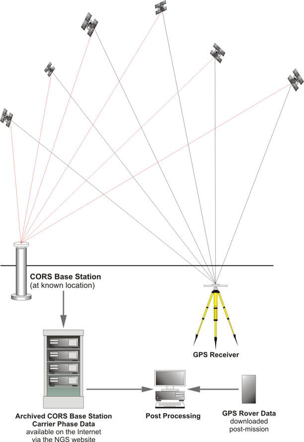
Static GPS/GNSS surveying has been used on control surveys from local to statewide to continental extent, and will probably continue to be the preferred technique in those categories. In static GPS/GNSS surveying, the receivers is motionless for a time, usually a relatively long occupation. If a static GPS/GNSS control survey is carefully planned, it usually progresses smoothly. The technology has virtually conquered two stumbling blocks that have defeated the plans of conventional surveyors for generations. Inclement weather does not disrupt GPS/GNSS observations, and a lack of intervisibility between stations is of no concern whatsoever, at least in postprocessed GPS/GNSS. Still, GPS/GNSS is far from so independent of conditions in the sky and on the ground that the process of designing a survey can now be reduced to points-per-day formulas, as some would like. Even with falling costs, the initial investment in GPS/GNSS remains large by most surveyors’ standards. However, there is seldom anything more expensive in a GPS/GNSS project than a surprise.